


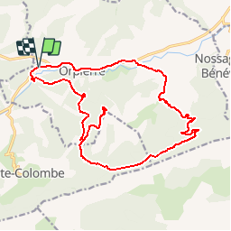

11.6 km | 17.9 km-effort


User


FREE GPS app for hiking
 SityTrail
IGN / Geographical institutes
SityTrail World
The world is yours!
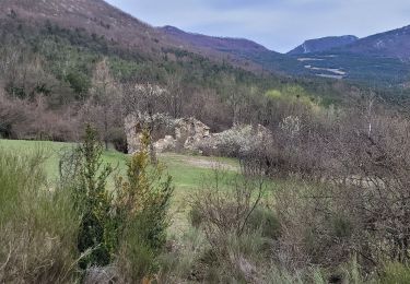
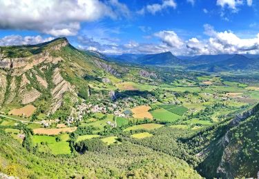
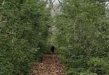
Trail Mountain bike of 21 km to be discovered at Provence-Alpes-Côte d'Azur, Hautes-Alpes, Étoile-Saint-Cyrice. This trail is proposed by mzonzon05.
Très joli tour pas trop dur à la montée et très varié à la descente. Déjà croisé un chamois ! La montée au St Michel n'est pas obligatoire mais offre un magnifique point de vue sur les Alpes (Dévoluy et plus).
Walking
Walking
Walking
Walking
Walking
Walking
Walking
Walking
Walking