


la Toussuire / pointe de l'Ouillon

laurentnecca
User
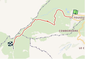

Length
5.9 km

Max alt
2420 m

Uphill gradient
738 m
Km-Effort
13.4 km

Min alt
1706 m

Downhill gradient
27 m
Boucle
No
Creation date :
2021-12-16 08:59:10.02
Updated on :
2021-12-16 11:23:40.03
2h24
Difficulty : Difficult

FREE GPS app for hiking
 SityTrail
IGN / Geographical institutes
SityTrail Plus
The world is yours!
About
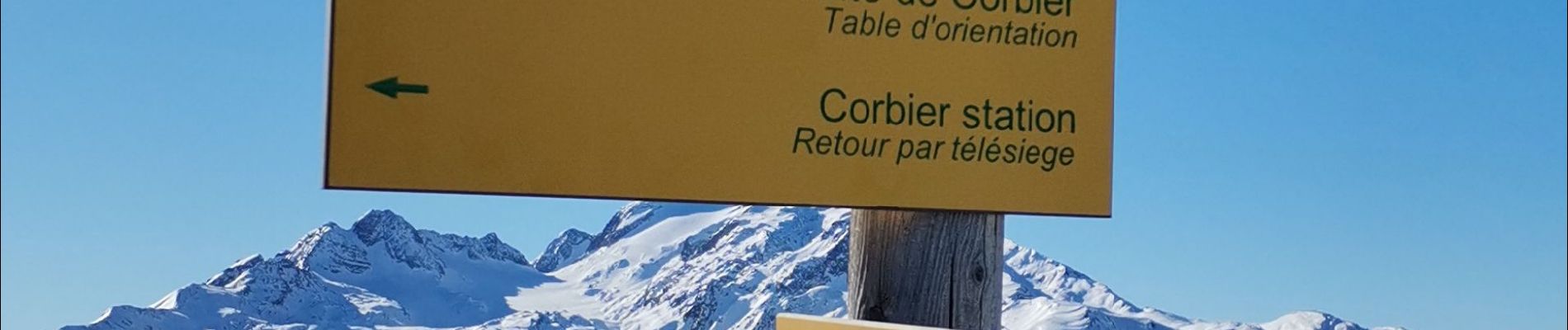
Trail Touring skiing of 5.9 km to be discovered at Auvergne-Rhône-Alpes, Savoy, Fontcouverte-la-Toussuire. This trail is proposed by laurentnecca.
Photos

Positioning
Country:
France
Region :
Auvergne-Rhône-Alpes
Department/Province :
Savoy
Municipality :
Fontcouverte-la-Toussuire
Location:
Unknown
Start:(Dec)
Start:(UTM)
284827 ; 5015044 (32T) N.
Comments