


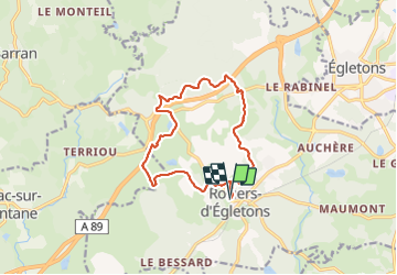

27 km | 34 km-effort

User


FREE GPS app for hiking
 SityTrail
IGN / Geographical institutes
SityTrail World
The world is yours!
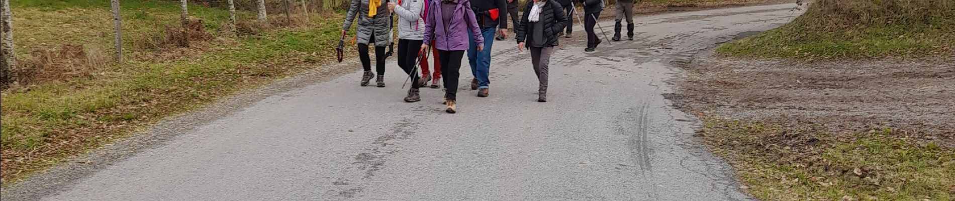
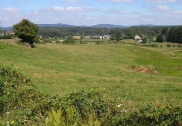
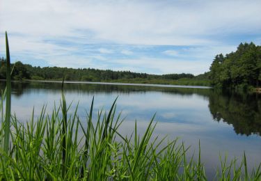
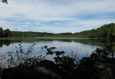
Trail On foot of 13.2 km to be discovered at New Aquitaine, Corrèze, Rosiers-d'Égletons. This trail is proposed by chanac les mines.


Mountain bike

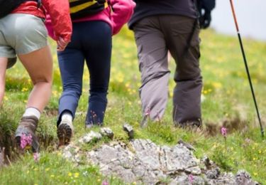
Walking

Walking
Walking
Mountain bike

Walking
Mountain bike

Walking
Mountain bike