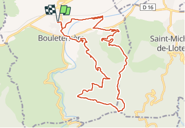
11 km | 15.3 km-effort
Bouleternere
ombrabella
User
Length
13.9 km
Max alt
624 m
Uphill gradient
479 m
Km-Effort
20 km
Min alt
170 m
Downhill gradient
480 m
Boucle
Yes
Creation date :
2022-01-19 08:10:01.0
Updated on :
2022-01-19 13:51:17.647
3h52
Difficulty : Medium
FREE GPS app for hiking
About
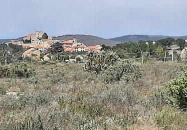
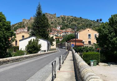
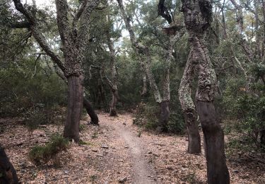
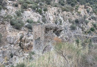
Trail Walking of 13.9 km to be discovered at Occitania, Pyrénées-Orientales, Bouleternère. This trail is proposed by ombrabella.
Description
Boucle col de la llose dolmen et retour
Positioning
Country:
France
Region :
Occitania
Department/Province :
Pyrénées-Orientales
Municipality :
Bouleternère
Location:
Unknown
Start:(Dec)
Start:(UTM)
466038 ; 4722348 (31T) N.
Comments
Trails nearby
ILLE TÊT 66 - PIC PEDROUS - CASESNOVES
Walking
Medium
(10)
Ille-sur-Têt,
Occitania,
Pyrénées-Orientales,
France
2h 22min
Yes
route saint Michel
Walking
Very easy
(1)
Caixas,
Occitania,
Pyrénées-Orientales,
France
17 km | 24 km-effort
5h 40min
Yes
Montauban le château corral grandes or
Walking
Difficult
Montalba-le-Château,
Occitania,
Pyrénées-Orientales,
France
12.9 km | 16.3 km-effort
3h 42min
Yes
montant a
Walking
Difficult
Montalba-le-Château,
Occitania,
Pyrénées-Orientales,
France
11.8 km | 14.7 km-effort
5h 2min
No
20221222 Rodés - Domanova…. Boucle
Walking
Medium
Rodès,
Occitania,
Pyrénées-Orientales,
France
21 km | 33 km-effort
5h 49min
Yes
Ille st jules
Walking
Difficult
Ille-sur-Têt,
Occitania,
Pyrénées-Orientales,
France
11.2 km | 12.7 km-effort
3h 2min
Yes
Gorges de la Guillera
Walking
Easy
Rodès,
Occitania,
Pyrénées-Orientales,
France
3.2 km | 4.9 km-effort
1h 37min
Yes
20220217 au départ de Rodes
Walking
Medium
Rodès,
Occitania,
Pyrénées-Orientales,
France
15.2 km | 26 km-effort
4h 56min
Yes
De Ille à rodés
Walking
Very difficult
Ille-sur-Têt,
Occitania,
Pyrénées-Orientales,
France
16.3 km | 22 km-effort
4h 34min
Yes