


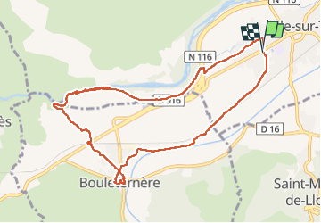


11 km | 15.3 km-effort


User


FREE GPS app for hiking
 SityTrail
IGN / Geographical institutes
SityTrail World
The world is yours!
Trail Walking of 11.2 km to be discovered at Occitania, Pyrénées-Orientales, Ille-sur-Têt. This trail is proposed by 66Gribouille83.
peu de difficultés


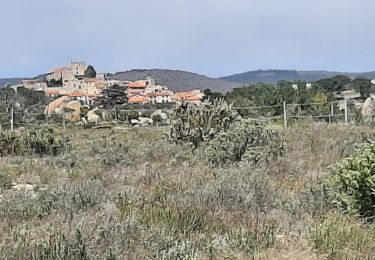
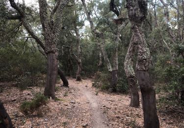
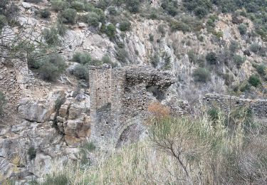
26 photos in total. Please click on a photo to see them all in the gallery.

Walking

Walking
Walking

Walking

Walking

Walking
Walking

Walking
Walking