


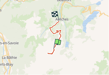

13.4 km | 30 km-effort


FREE GPS app for hiking
 SityTrail
IGN / Geographical institutes
SityTrail World
The world is yours!
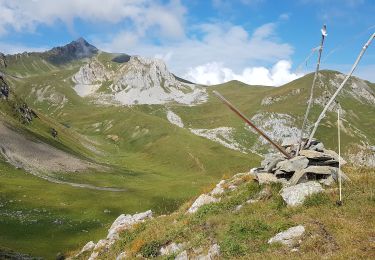
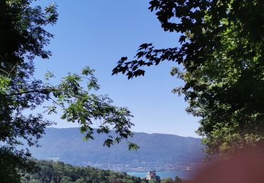
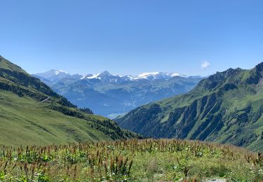
Trail Touring skiing of 14.4 km to be discovered at Auvergne-Rhône-Alpes, Savoy, Beaufort. This trail is proposed by michel.heusschen@skynet.be.
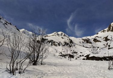
Touring skiing
Walking
Walking
Walking
Walking
Snowshoes
Walking
Walking
Mountain bike