


27 km | 41 km-effort


User


FREE GPS app for hiking
 SityTrail
IGN / Geographical institutes
SityTrail World
The world is yours!
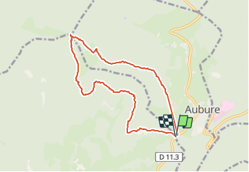
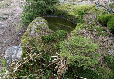
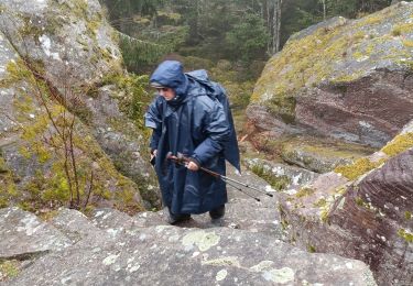
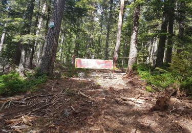
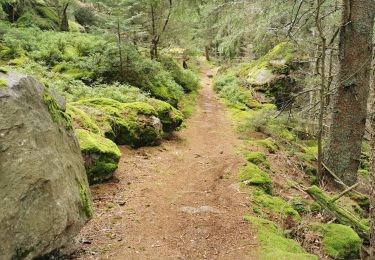
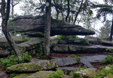
Trail Walking of 7.9 km to be discovered at Grand Est, Haut-Rhin, Aubure. This trail is proposed by zazie.
Parcours à suivre le long du balisage Rouge Blanc Rouge. Oubli d'annuler une pause. Temps du parcours rectifié.


Horseback riding
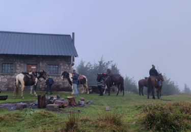
Horseback riding
Walking

Horseback riding
Walking
Walking
Walking
Walking
Walking