


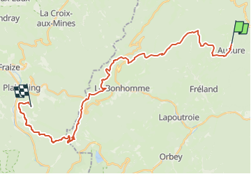


27 km | 41 km-effort

Promouvoir le Tourisme Equestre en Alsace GUIDE+


FREE GPS app for hiking
 SityTrail
IGN / Geographical institutes
SityTrail World
The world is yours!
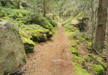
Trail Horseback riding of 30 km to be discovered at Grand Est, Haut-Rhin, Aubure. This trail is proposed by Tourisme Equestre Alsace.
Circuit Entre l’Alsace et les Vosges : Etape entre Aubure et Orbey


Horseback riding
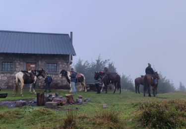
Horseback riding

Walking
Walking
Walking
Walking
Walking
Walking
Walking