


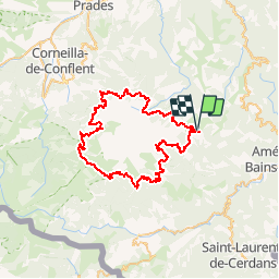


63 km | 113 km-effort


User


FREE GPS app for hiking
 SityTrail
IGN / Geographical institutes
SityTrail World
The world is yours!
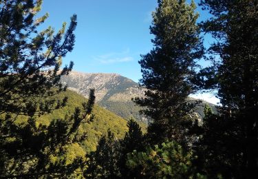
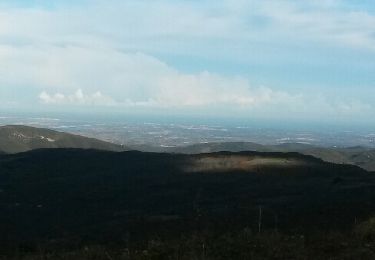
Trail Walking of 68 km to be discovered at Occitania, Pyrénées-Orientales, Corsavy. This trail is proposed by starsquy.
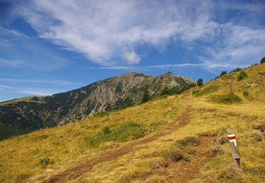
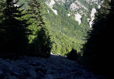
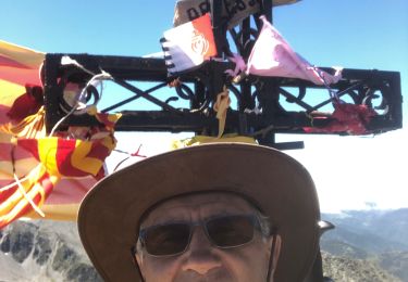
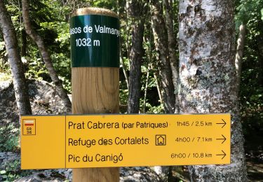
rando sur 4 jours avec possibilité de faire l'accession au départ du refuge des Cortalets
On foot
Walking
Walking
Walking
Walking
Walking
Walking
Walking
Walking
Rando agréable ,avec belle vue sur Vuillafans et Montgesoye . Bon dénivelé
appli incontournable !