


4.7 km | 6 km-effort

Tous les sentiers balisés d’Europe PRO


FREE GPS app for hiking
 SityTrail
IGN / Geographical institutes
SityTrail World
The world is yours!
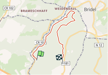
Trail On foot of 8.5 km to be discovered at Unknown, Canton Luxembourg, Strassen. This trail is proposed by SityTrail - itinéraires balisés pédestres.
Trail created by Ministère de l´Économie.
Website: https://map.geoportail.lu/theme/tourisme?fid=176_4488230&version=3&zoom=15&X=674610&Y=6384888&lang=lb&layers=176&opacities=1&bgLayer=topogr_global


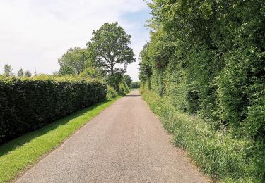
On foot
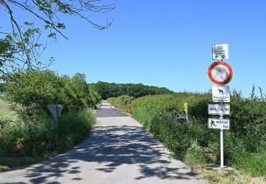
On foot
On foot
On foot

On foot

On foot
On foot
On foot
On foot