


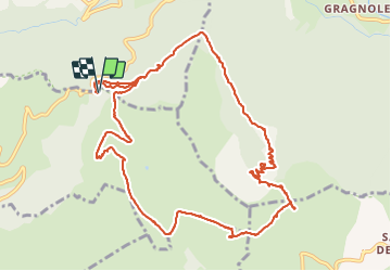

15.1 km | 34 km-effort

User


FREE GPS app for hiking
 SityTrail
IGN / Geographical institutes
SityTrail World
The world is yours!
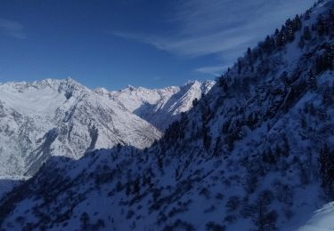
Trail Walking of 14.5 km to be discovered at Auvergne-Rhône-Alpes, Isère, Saint-Michel-en-Beaumont. This trail is proposed by Orcal37.
Valbonnais boucle Col de Parquetout - Col d'Hurtieres


Walking

Walking
Walking
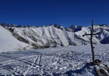
Touring skiing
Walking
Touring skiing
Walking
Walking
Mountain bike
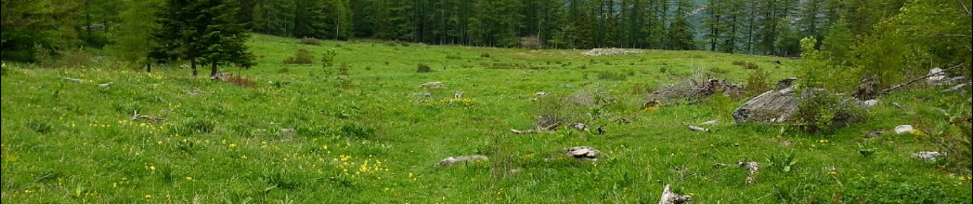
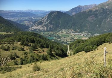
Jolie promenade, au milieu des vachettes. Pour tout public.