


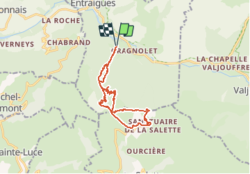


14.3 km | 23 km-effort

User


FREE GPS app for hiking
 SityTrail
IGN / Geographical institutes
SityTrail World
The world is yours!
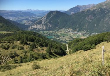
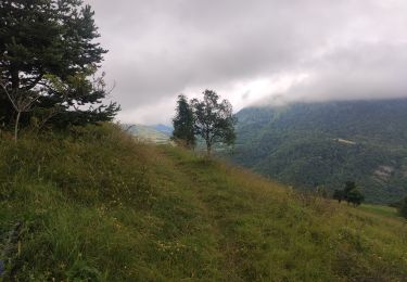
Trail Walking of 15.1 km to be discovered at Auvergne-Rhône-Alpes, Isère, Entraigues. This trail is proposed by bailleulherve.


Walking
Walking
Walking
Walking
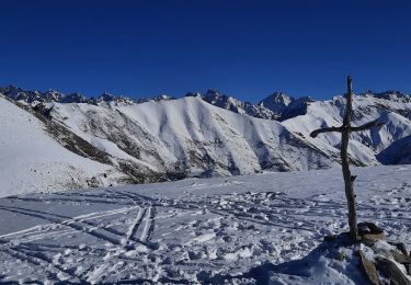
Touring skiing
Walking
Walking
Mountain bike
Walking
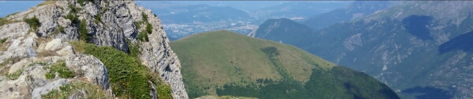
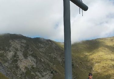
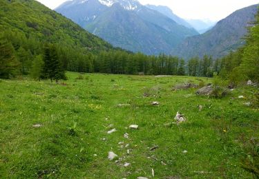
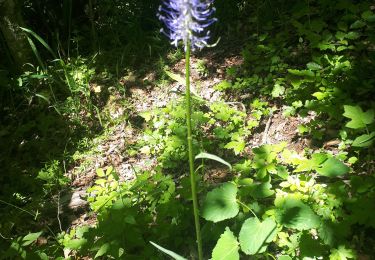
Très belle rando. Vue imprenable sur La Salette.