


6.9 km | 11.1 km-effort

User


FREE GPS app for hiking
 SityTrail
IGN / Geographical institutes
SityTrail World
The world is yours!
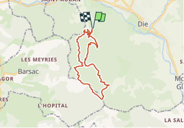
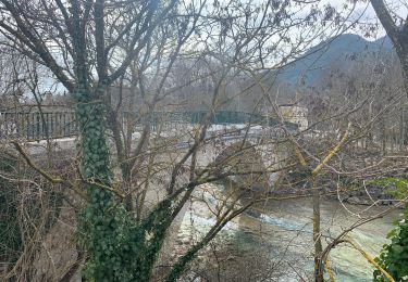
Trail Walking of 14.8 km to be discovered at Auvergne-Rhône-Alpes, Drôme, Die. This trail is proposed by TOULAUDIN.
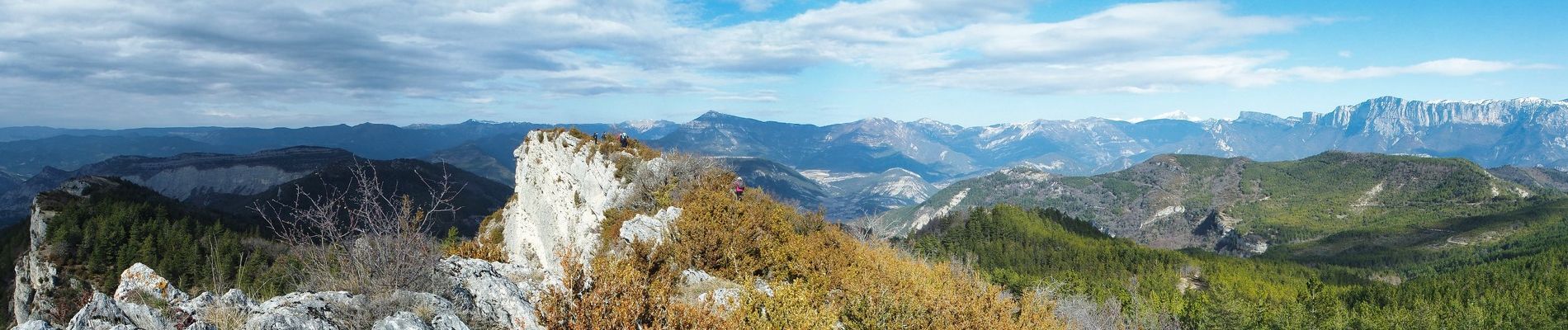
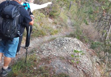
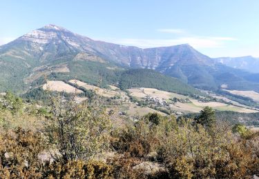
montée très progressive,magnifique parcours en Crête ( rester vigilant) au Km 9.5 descente à travers bois pour rejoindre le chemin ,on aurait pu prolonger jusqu'au pas de la trappe et descendre sur le chemin.
 - Photo 1")
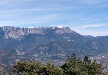
 - Photo 2")
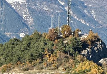
 - Photo 3")
 - Photo 4")
 - Photo 5")
 - Photo 6")
 - Photo 7")

Nordic walking

Mountain bike

Walking
Walking

sport
Walking
Walking
Walking
Walking