


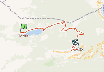

5.1 km | 11.9 km-effort


Tous les sentiers balisés d’Europe PRO


FREE GPS app for hiking
 SityTrail
IGN / Geographical institutes
SityTrail World
The world is yours!
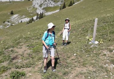
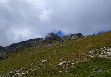
Trail On foot of 6.3 km to be discovered at Valais/Wallis, Monthey, Vouvry. This trail is proposed by SityTrail - itinéraires balisés pédestres.
Miex-Lac Tanay (via Prélagine)
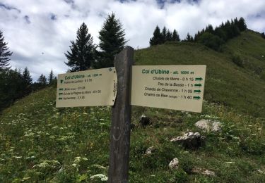
Symbol: Gelbe Raute
 - Photo 1")
 - Photo 2")
 - Photo 3")
 - Photo 4")
 - Photo 5")
 - Photo 6")
 - Photo 7")
 - Photo 8")
 - Photo 9")
 - Photo 10")

Walking

Walking

On foot
On foot
Walking
Walking
Other activity
Walking
Walking