Trail Walking Vouvry - Lac Tanay - Photo
 danihz
danihz

User

© OpenStreetMap contributors
Length
Length
12.4 km
Max alt
Max alt
1507 m
Uphill gradient
Uphill gradient
738 m
Km-Effort
Km-Effort  
22 km
Min alt
Min alt
996 m
Downhill gradient
Downhill gradient
719 m
Boucle
Boucle
Yes
Creation date :
2015-09-22 00:00:00.0
Updated on :
2015-09-22 00:00:00.0

(0 Reviews)

Walking
Walking
4h45
Difficulty : Medium

Scan this QR Code to open this trail in the SityTrail application

FREE GPS app for hiking

Logo SityTrail SityTrail

IGN / Geographical institutes

Download SityTrail from the App Store Download SityTrail from Google Play

Logo SityTrail SityTrail World

The world is yours!

Download SityTrail from the App Store Download SityTrail from Google Play Download SityTrail on Huawei AppGallery

About

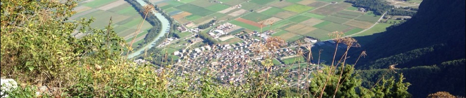
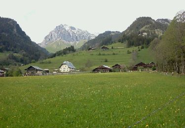
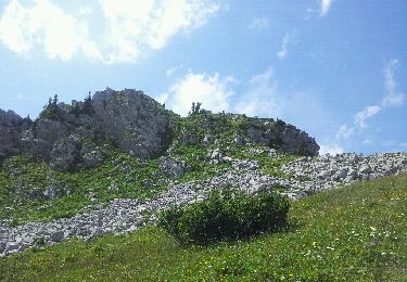
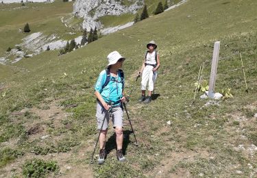
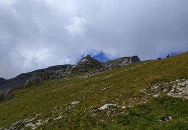
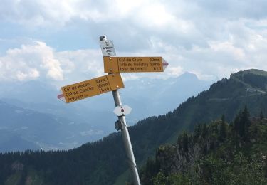
Trail Walking of 12.4 km to be discovered at Valais/Wallis, Monthey, Vouvry. This trail is proposed by danihz.

Description

Lac Tanay par Prélagine

Elevation profile

Photos

Positioning

Country:
Switzerland
Region :
Valais/Wallis
Department/Province :
Monthey
Municipality :
Vouvry
Location:
Unknown
Start:(UTM)
335306 ; 5133756 (32T) N.

Trails nearby

Trail Walking La Chapelle-d'Abondance - Le Linleu 2093 m, depuis Sevan-devant - Photo
Walking
tracegps

Walking

Medium
(1)
La Chapelle-d'Abondance, Auvergne-Rhône-Alpes, Upper Savoy, France
5.1 km | 11.9 km-effort
3h 0min
Yes
Trail On foot Vouvry - Miex-Lac Tanay (via Prélagine) - Photo
On foot
PRO

On foot

Easy
Vouvry, Valais/Wallis, Monthey, Switzerland
6.3 km | 9.9 km-effort
2h 15min
No
Trail On foot Vionnaz - Torgon village - Chalet de Blancsex - Photo
On foot
PRO

On foot

Easy
Vionnaz, Valais/Wallis, Monthey, Switzerland
4.4 km | 8.7 km-effort
1h 58min
No
Trail On foot Vionnaz - Torgon village - Dravers - Photo
On foot
PRO

On foot

Easy
Vionnaz, Valais/Wallis, Monthey, Switzerland
4 km | 8.3 km-effort
1h 53min
No
Trail Walking La Chapelle-d'Abondance - Plainr de  Joux - Photo
Walking
helmut68

Walking

Medium
La Chapelle-d'Abondance, Auvergne-Rhône-Alpes, Upper Savoy, France
19.4 km | 29 km-effort
5h 24min
Yes
Trail Other activity La Chapelle-d'Abondance - savalenaz - Photo
Other activity
jntoreau

Other activity

Very easy
La Chapelle-d'Abondance, Auvergne-Rhône-Alpes, Upper Savoy, France
3.2 km | 6.6 km-effort
1h 13min
No
Trail Walking La Chapelle-d'Abondance - le linla - Photo
Walking
micheleuvrard

Walking

Medium
La Chapelle-d'Abondance, Auvergne-Rhône-Alpes, Upper Savoy, France
6.9 km | 11.8 km-effort
4h 13min
Yes
Trail Walking La Chapelle-d'Abondance - Cornettes de Bises - Photo
Walking
bymarc26

Walking

Difficult
La Chapelle-d'Abondance, Auvergne-Rhône-Alpes, Upper Savoy, France
13 km | 26 km-effort
4h 24min
Yes
Trail Other activity La Chapelle-d'Abondance - Sevan Devant - Braitaz - Recon - Mouet - Sevan 2018 Péd. - Photo
Other activity
boisacq

Other activity

Easy
La Chapelle-d'Abondance, Auvergne-Rhône-Alpes, Upper Savoy, France
6.5 km | 12.4 km-effort
2h 56min
Yes


Close
My subscriptions