


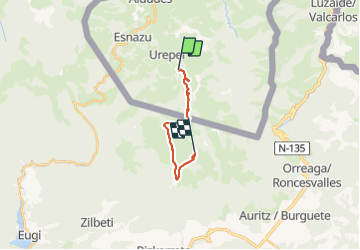

14.4 km | 22 km-effort

Tous les sentiers balisés d’Europe PRO


FREE GPS app for hiking
 SityTrail
IGN / Geographical institutes
SityTrail World
The world is yours!
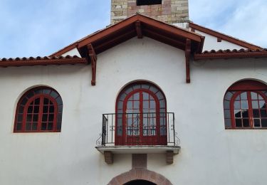
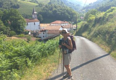
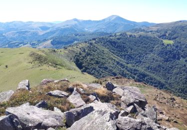
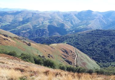
Trail On foot of 12.8 km to be discovered at New Aquitaine, Pyrénées-Atlantiques, Urepel. This trail is proposed by SityTrail - itinéraires balisés pédestres.
Trail created by Red de senderos del Valle de Erro / Erroibarko bidexken sarea.


Walking
Walking
Walking
Walking
Walking
Walking
Walking

Mountain bike
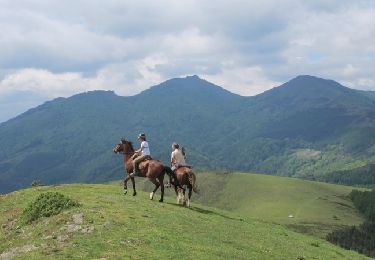
Equestrian