


12.8 km | 22 km-effort

User


FREE GPS app for hiking
 SityTrail
IGN / Geographical institutes
SityTrail World
The world is yours!
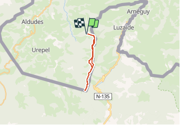
Trail Walking of 15.8 km to be discovered at New Aquitaine, Pyrénées-Atlantiques, Banca. This trail is proposed by DECHAMPD.
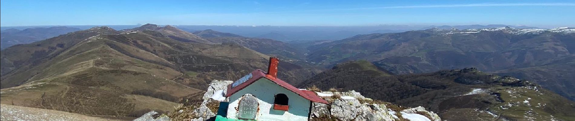
Vous profiterez de la hauteur du col de Mehatze pour accéder simplement à cette vaste chaine montagneuse aux nombreux panoramas, qui s'étend entre les territoires de Saint Etienne de Baïgorry et la vallée de Luzaide-Valcarlos. A travers la ligne frontière définie par les bornes 169 à 152.
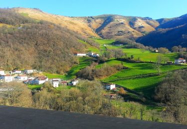
La vallée des Aldudes, en zone pastorale au dessus de Banca avec un départ à Gosnaisto (1065m).
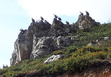
En suivant la frontière par les cols de Mehatze, Bordaco, Haradoko, Ithurrahoko, Berhaingo, Mizpirarrko, Lindusko et les sommets Mehatze 1206m., Izoztegi 1209m., Elutsaudiko Oihana 1195m., Mendikoreta 1162m., Lixtoki 1153m., Laurigna 1275m., Axiztoi 1230m., Lindus 1220m, avec sa redoute et retour en partie ombragée par la forêt d'Hayra (ça sent les champignons).


On foot
On foot
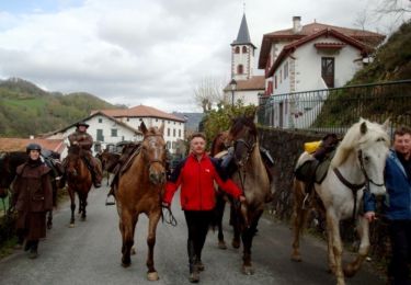
Equestrian
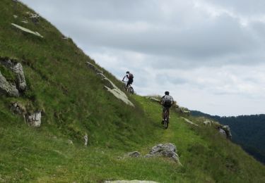
Mountain bike
Walking

Walking
Walking
Walking
Walking