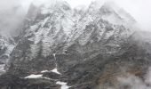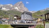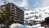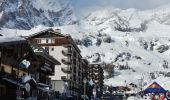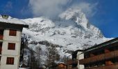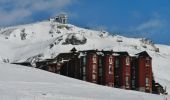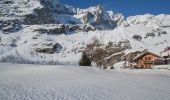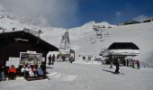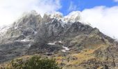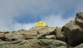

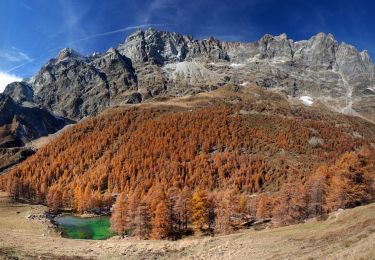
Itinerario 11 Rifugio Bobba Cervinia
SityTrail - itinéraires balisés pédestres
Tous les sentiers balisés d’Europe PRO

Length
4 km

Max alt
2759 m

Uphill gradient
748 m

Km-Effort
11.5 km

Min alt
2006 m

Downhill gradient
11 m
Boucle
No
Signpost
Creation date :
2022-02-15 04:33:45.227
Updated on :
2022-03-01 01:38:55.561
2h37
Difficulty : Easy

FREE GPS app for hiking
About
Trail On foot of 4 km to be discovered at Aosta Valley, Unknown, Valtournenche. This trail is proposed by SityTrail - itinéraires balisés pédestres.
Description
Trail created by Comune di Valtournenche.
Positioning
Country:
Italy
Region :
Aosta Valley
Department/Province :
Unknown
Municipality :
Valtournenche
Location:
Unknown
Start:(Dec)
Start:(UTM)
393544 ; 5087875 (32T) N.
Comments
Trails nearby
Itinerario 11 Diga di Bionaz Alpeggio Bella Tsa


On foot
Easy
Bionaz,
Aosta Valley,
Unknown,
Italy

8.5 km | 12.1 km-effort
2h 44min
No
Sentier Jean Antoine Carrel - 30 km - E/EE


On foot
Very difficult
Valtournenche,
Aosta Valley,
Unknown,
Italy

27 km | 45 km-effort
10h 15min
Yes
Itinerario 17 Breuil/Cervinia-Bec Pio Merlo


On foot
Easy
Valtournenche,
Aosta Valley,
Unknown,
Italy

4.5 km | 10.7 km-effort
2h 25min
No

Itinerario 23 Colle della Roisette


On foot
Easy
Valtournenche,
Aosta Valley,
Unknown,
Italy

3.1 km | 4.9 km-effort
1h 7min
No

bdr03_Matterhorn_Gondo


Other activity
Very easy
Valtournenche,
Aosta Valley,
Unknown,
Italy

76 km | 192 km-effort
Unknown
No

xxx02_Trient_Matterhorn


Other activity
Very easy
Valtournenche,
Aosta Valley,
Unknown,
Italy

95 km | 262 km-effort
62h 11min
No

de Pereres a Crepin


Walking
Medium
Valtournenche,
Aosta Valley,
Unknown,
Italy

13.6 km | 25 km-effort
6h 40min
No

Accesso Bivacco Tete Des Roeses Da Alpe Bella Tsa


On foot
Easy
Bionaz,
Aosta Valley,
Unknown,
Italy

3.2 km | 6 km-effort
1h 21min
No

Val d ayas Breuil Cervinia par col supériorité sine blanca


Walking
Very easy
Valtournenche,
Aosta Valley,
Unknown,
Italy

10.5 km | 17.9 km-effort
5h 52min
No


 SityTrail


