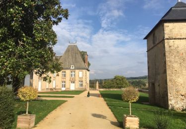
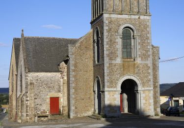
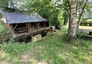
Trail On foot Saint-Germain-de-Coulamer - Sentier de Bel Air (a) - Photo

Tous les sentiers balisés d’Europe PRO

© OpenStreetMap contributors
Length
Length
6.5 km
Max alt
Max alt
245 m
Uphill gradient
Uphill gradient
115 m
Km-Effort
Km-Effort  
8 km
Min alt
Min alt
152 m
Downhill gradient
Downhill gradient
112 m
Boucle
Boucle
Yes
Signpost
Signpost
Creation date :
2022-02-15 04:57:27.613
Updated on :
2022-03-02 13:23:43.451

(0 Reviews)

On foot
On foot
1h49
Difficulty : Easy

Scan this QR Code to open this trail in the SityTrail application

FREE GPS app for hiking

Logo SityTrail SityTrail

IGN / Geographical institutes

Download SityTrail from the App Store Download SityTrail from Google Play

Logo SityTrail SityTrail World

The world is yours!

Download SityTrail from the App Store Download SityTrail from Google Play Download SityTrail on Huawei AppGallery

About

Trail On foot of 6.5 km to be discovered at Pays de la Loire, Mayenne, Saint-Germain-de-Coulamer. This trail is proposed by SityTrail - itinéraires balisés pédestres.

Description

Rejoigez la Communauté de Communes du Mont des Avaloirs, au cœur d'un espace naturel sur le point culminant de l'Ouest, et découvrez ses projets innovants.

Website: http://www.cc-montdesavaloirs.fr/

Positioning

Country:
France
Region :
Pays de la Loire
Department/Province :
Mayenne
Municipality :
Saint-Germain-de-Coulamer
Location:
Unknown
Start:(UTM)
709845 ; 5349475 (30U) N.

Trails nearby

Trail On foot Vimartin-sur-Orthe - Circuit de Saint-Pierre-sur-Orthe - Photo
On foot
PRO

On foot

Medium
Vimartin-sur-Orthe, Pays de la Loire, Mayenne, France
18.8 km | 24 km-effort
5h 30min
Yes
Trail On foot Vimartin-sur-Orthe - Circuit de Saint-Martin-de-Connée - Photo
On foot
PRO

On foot

Medium
Vimartin-sur-Orthe, Pays de la Loire, Mayenne, France
16.3 km | 21 km-effort
4h 39min
Yes
Trail Walking Mont-Saint-Jean - 1= Mont St Jean ~ Sillé le Guillaume - Photo
Walking
meunier.ph.

Walking

Very easy
Mont-Saint-Jean, Pays de la Loire, Sarthe, France
9.1 km | 11.7 km-effort
1h 52min
No
Trail On foot Saint-Germain-de-Coulamer - Boucle du Buisson - Photo
On foot
PRO

On foot

Easy
Saint-Germain-de-Coulamer, Pays de la Loire, Mayenne, France
13 km | 16.2 km-effort
3h 41min
Yes
Trail On foot Saint-Mars-du-Désert - Sentier de la Houdaise - Photo
On foot
PRO

On foot

Easy
Saint-Mars-du-Désert, Pays de la Loire, Mayenne, France
4.4 km | 4.9 km-effort
1h 7min
Yes
Trail On foot Saint-Germain-de-Coulamer - Sentier de Bel Air (b) - Photo
On foot
PRO

On foot

Easy
Saint-Germain-de-Coulamer, Pays de la Loire, Mayenne, France
4.9 km | 6.3 km-effort
1h 25min
Yes
Trail On foot Saint-Germain-de-Coulamer - Sentier de Bel Air - Photo
On foot
PRO

On foot

Easy
Saint-Germain-de-Coulamer, Pays de la Loire, Mayenne, France
10.6 km | 13.2 km-effort
3h 0min
Yes
Trail On foot Saint-Georges-le-Gaultier - La Croix aux Coquillages - Photo
On foot
PRO

On foot

Easy
Saint-Georges-le-Gaultier, Pays de la Loire, Sarthe, France
7.5 km | 9.5 km-effort
2h 9min
Yes
Trail Walking Mont-Saint-Jean - Tour des Alpes Mancelles en 4 jours - Photo
Walking
meunier.ph.

Walking

Easy
Mont-Saint-Jean, Pays de la Loire, Sarthe, France
87 km | 108 km-effort
17h 0min
Yes


Close
My subscriptions