


3.8 km | 4.4 km-effort


User


FREE GPS app for hiking
 SityTrail
IGN / Geographical institutes
SityTrail World
The world is yours!
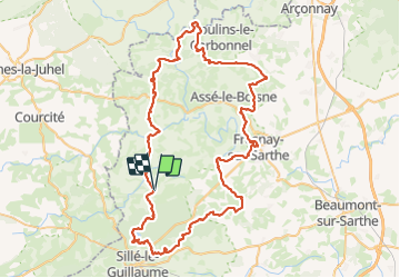
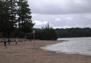
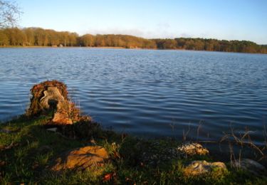
Trail Walking of 87 km to be discovered at Pays de la Loire, Sarthe, Mont-Saint-Jean. This trail is proposed by meunier.ph..
Tour des Alpes mancelles en 4 jour en autonomie = Stationnement à Mont St Jean, Camping à Sillé le Guillaume, Camping à Fresnay sur Sarthe et Camping à St Léonard des bois. Paysages de bocage avec pas mal de sous-bois et de chemin creux. Beaux villages de Fresnay, St Cénéri et St Léonard.
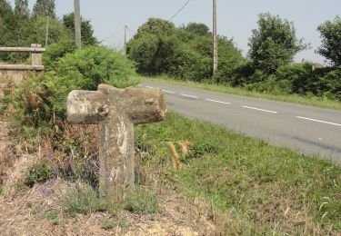
On foot

Walking
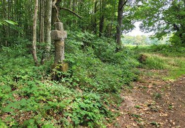
Walking
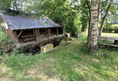
Walking

On foot
On foot
On foot
Mountain bike
Mountain bike