


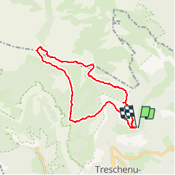


13 km | 28 km-effort

User


FREE GPS app for hiking
 SityTrail
IGN / Geographical institutes
SityTrail World
The world is yours!
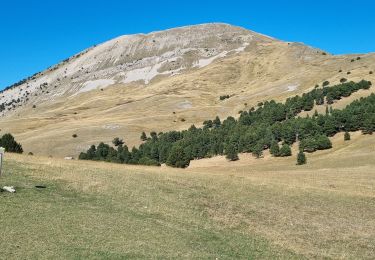
Trail Walking of 17 km to be discovered at Auvergne-Rhône-Alpes, Drôme, Châtillon-en-Diois. This trail is proposed by ageo.
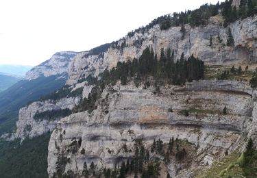
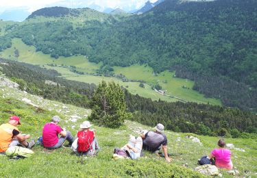
LCV. Croix du Lautaret. Très belle rando faite avec Maurice en reco.


Walking
Walking

Walking
Walking

Walking

Walking
Walking
Walking
Walking
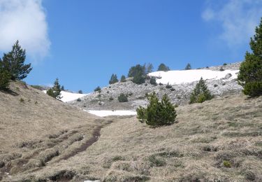
Magnifique