


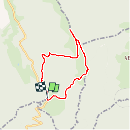


10.2 km | 17.1 km-effort

User


FREE GPS app for hiking
 SityTrail
IGN / Geographical institutes
SityTrail World
The world is yours!
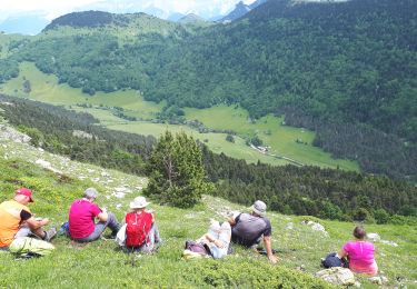
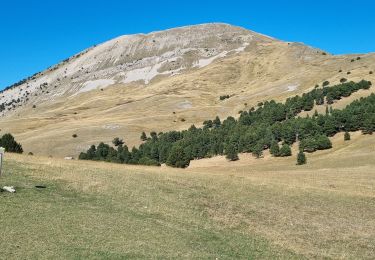
Trail Walking of 6.6 km to be discovered at Auvergne-Rhône-Alpes, Isère, Chichilianne. This trail is proposed by patjobou.
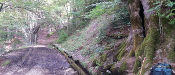
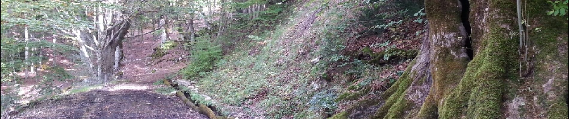
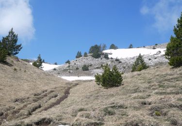
Belle petite boucle - Très belle vue circulaire au sommet. Possible en raquettes. Si on veut continuer la crêt, il est possible de rentrer par le sentier de la Combe Gauthière.


Walking

Walking

Walking
Walking

Walking

Snowshoes
Walking
Walking
Walking
en effet très belle boucle avec belle vue