Trail Walking Châtillon-en-Diois - Combau-TêteChevalière 05-05-2018 - Photo

Combau-TêteChevalière 05-05-2018

© OpenStreetMap contributors
Length
Length
10.2 km
Max alt
Max alt
1947 m
Uphill gradient
Uphill gradient
519 m
Km-Effort
Km-Effort  
17.1 km
Min alt
Min alt
1459 m
Downhill gradient
Downhill gradient
519 m
Boucle
Boucle
Yes
Creation date :
2018-05-06 09:42:52.784
Updated on :
2020-06-25 12:21:18.52

(4 Reviews)

Walking
Walking
4h00
Difficulty : Easy

Scan this QR Code to open this trail in the SityTrail application

FREE GPS app for hiking

Logo SityTrail SityTrail

IGN / Geographical institutes

Download SityTrail from the App Store Download SityTrail from Google Play

Logo SityTrail SityTrail World

The world is yours!

Download SityTrail from the App Store Download SityTrail from Google Play Download SityTrail on Huawei AppGallery

About

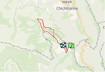
Trail Walking of 10.2 km to be discovered at Auvergne-Rhône-Alpes, Drôme, Châtillon-en-Diois. This trail is proposed by Philindy26.

Description

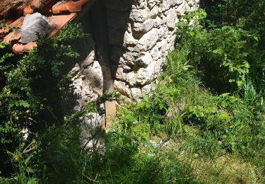
Départ du parking du vallon de Combau ( Lien : https://goo.gl/maps/8mEqtKo8eiq5qdAc7 ).
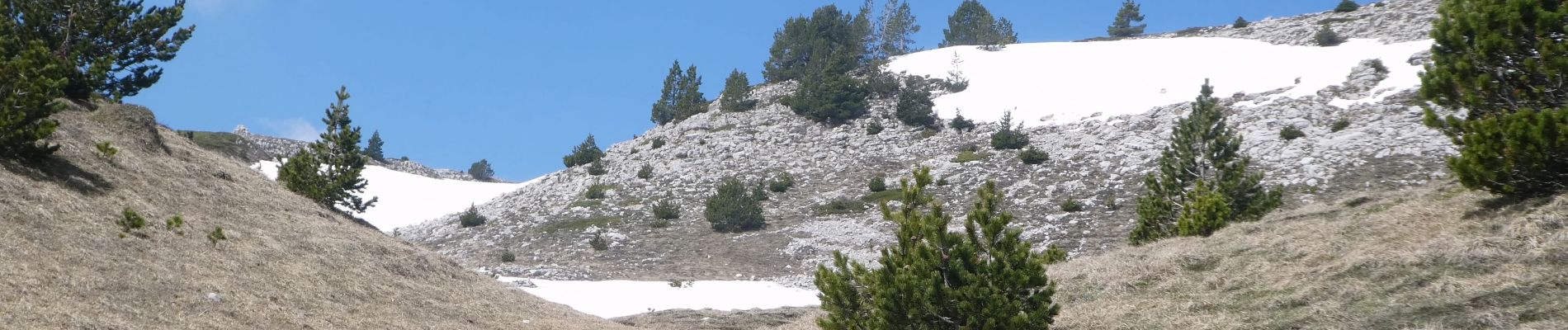
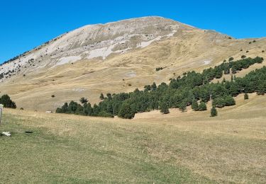
Montée sur la Tête Chevalière en passant par la cabane de l'Essaure (1653m), le pas de l'Essaure.
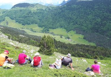
Sur la Tête Chevalière (1951m), vous aurez une vision à 360° sur les Hauts Plateaux du Vercors et le Triève.
Retour par le col du Creuson (1759m).
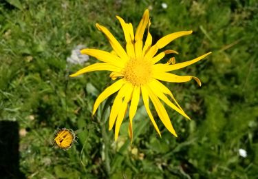
Au printemps vers début mai,  vous rencontrerez de nombreuses marmottes...

Elevation profile

Photos

Positioning

Country:
France
Region :
Auvergne-Rhône-Alpes
Department/Province :
Drôme
Municipality :
Châtillon-en-Diois
Location:
Treschenu-Creyers
Start:(UTM)
703636 ; 4961142 (31T) N.

Comments

Please log in to post a review or rate the element


super rando. le 7 juin 19


Magnifiques photos !


Trails nearby

Trail Walking Châtillon-en-Diois - F26 Combau Fontaine Pourrie - Photo
Walking
ageo

Walking

Medium
(1)
Châtillon-en-Diois, Auvergne-Rhône-Alpes, Drôme, France
17 km | 29 km-effort
6h 9min
Yes
Trail Walking Chichilianne - Le Platary - Photo
Walking
patjobou

Walking

Medium
(2)
Chichilianne, Auvergne-Rhône-Alpes, Isère, France
6.6 km | 12.1 km-effort
2h 29min
Yes
Trail Walking Chichilianne - La Fontaine Pourrie - Hauts Plateaux Sud du Vercors - Photo
Walking
tracegps

Walking

Medium
(2)
Chichilianne, Auvergne-Rhône-Alpes, Isère, France
19.4 km | 33 km-effort
7h 45min
Yes
Trail Walking Châtillon-en-Diois - 2017-06-04 15:45:22 - Photo
Walking
randochu

Walking

Medium
(1)
Châtillon-en-Diois, Auvergne-Rhône-Alpes, Drôme, France
11.4 km | 19.9 km-effort
Unknown
Yes
Trail Walking Châtillon-en-Diois - La boucle du Mont Barral - Photo
Walking
GUIDE
R@ph

Walking

Difficult
Châtillon-en-Diois, Auvergne-Rhône-Alpes, Drôme, France
7.5 km | 14.9 km-effort
3h 7min
Yes
Trail Snowshoes Chichilianne - chichilianne archiane - Photo
Snowshoes
jerome-dupont@laposte.net

Snowshoes

Medium
(1)
Chichilianne, Auvergne-Rhône-Alpes, Isère, France
18.9 km | 32 km-effort
8h 0min
No
Trail Walking Châtillon-en-Diois - mont barral - Photo
Walking
scalpy

Walking

Difficult
Châtillon-en-Diois, Auvergne-Rhône-Alpes, Drôme, France
7.7 km | 15 km-effort
4h 8min
Yes
Trail Walking Châtillon-en-Diois - 26 vallon combeau - Photo
Walking
himba26100

Walking

Medium
Châtillon-en-Diois, Auvergne-Rhône-Alpes, Drôme, France
13.3 km | 24 km-effort
6h 48min
Yes
Trail Walking Châtillon-en-Diois - Vallon de Combeau - Photo
Walking
AIGUIER

Walking

Difficult
Châtillon-en-Diois, Auvergne-Rhône-Alpes, Drôme, France
12.2 km | 19.5 km-effort
4h 51min
Yes


Close
My subscriptions