


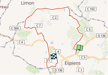

11.7 km | 15.9 km-effort


Tous les sentiers balisés d’Europe PRO


FREE GPS app for hiking
 SityTrail
IGN / Geographical institutes
SityTrail World
The world is yours!
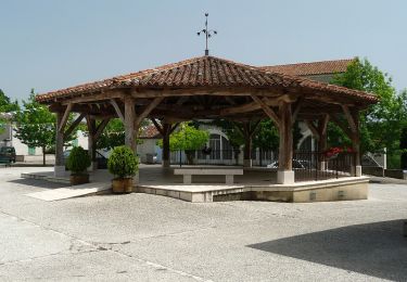
Trail On foot of 9 km to be discovered at New Aquitaine, Lot-et-Garonne, Espiens. This trail is proposed by SityTrail - itinéraires balisés pédestres.
Trail created by CDT47.
Website: http://rando.tourisme-lotetgaronne.com/#

Walking
On foot

On foot

Mountain bike
Walking
Walking

Other activity

Mountain bike

Walking