


9.1 km | 14.9 km-effort

User


FREE GPS app for hiking
 SityTrail
IGN / Geographical institutes
SityTrail World
The world is yours!
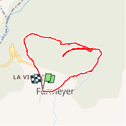
Trail Walking of 4.3 km to be discovered at Provence-Alpes-Côte d'Azur, Hautes-Alpes, Furmeyer. This trail is proposed by Dervalmarc.
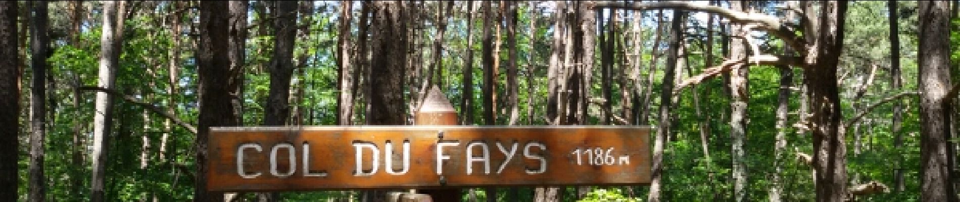
Très belle hêtraie sous le col de Fay. Panorama superbe sur le Veynois à Mine Garcine.


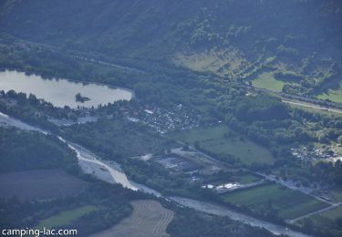
Walking
Walking
Walking

Mountain bike

Mountain bike
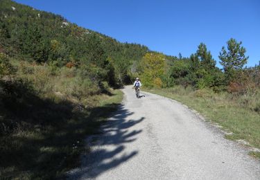
Mountain bike
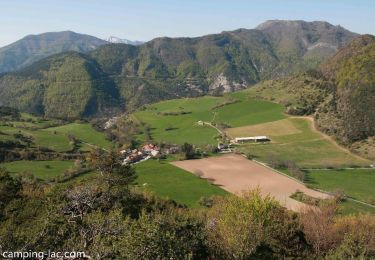
Walking
Walking

Walking