


9.1 km | 16.1 km-effort

Tous les sentiers balisés d’Europe PRO


FREE GPS app for hiking
 SityTrail
IGN / Geographical institutes
SityTrail World
The world is yours!
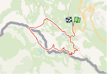
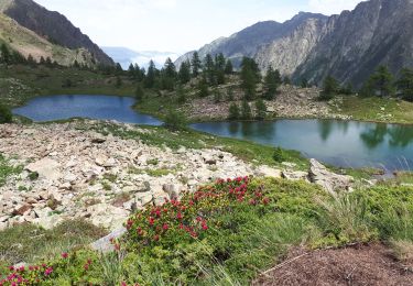
Trail On foot of 9.5 km to be discovered at Piemont, Cuneo, Vinadio. This trail is proposed by SityTrail - itinéraires balisés pédestres.
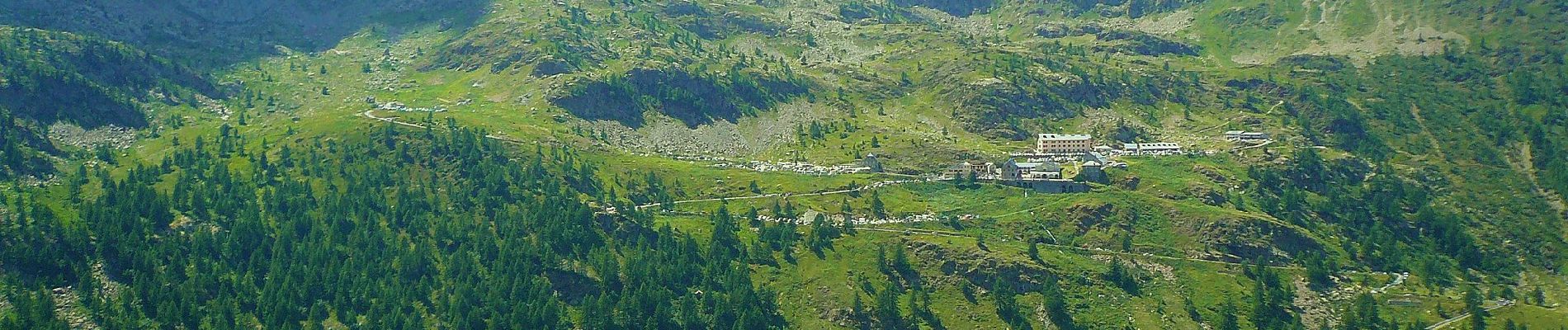
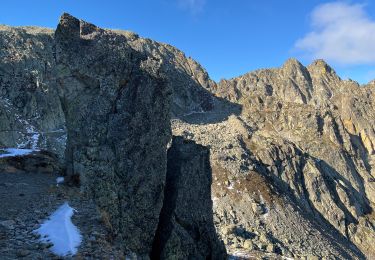
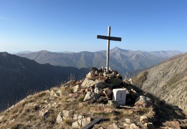
Randonnée pédestre - Haut pays : Au départ du Sanctuaire de Sainte-Anne (2 035 mètres)
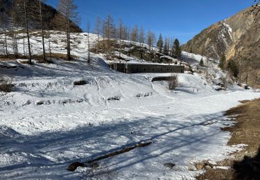
Website: https://randoxygene.departement06.fr/haute-tinee-2/tour-du-lausfer-9112.html


On foot
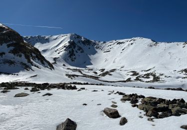
Snowshoes
Walking
Walking
Walking
Walking
Walking
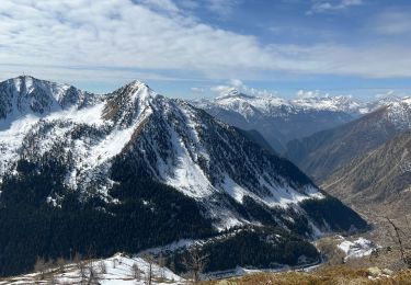
Snowshoes