


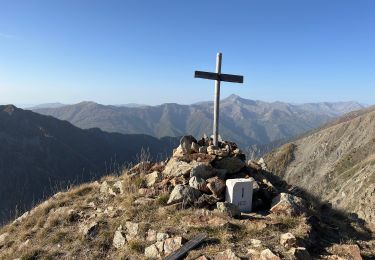
4.4 km | 7.1 km-effort

User


FREE GPS app for hiking
 SityTrail
IGN / Geographical institutes
SityTrail World
The world is yours!
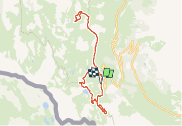
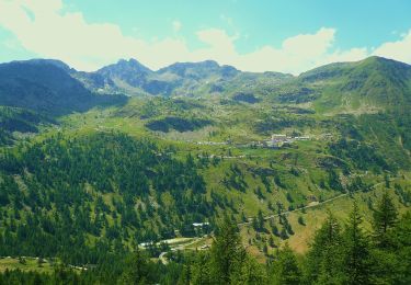
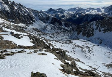
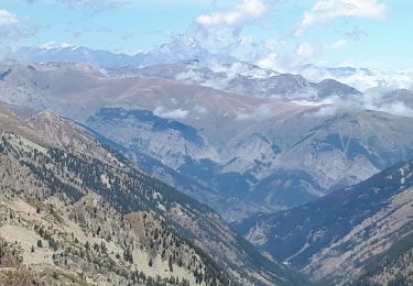
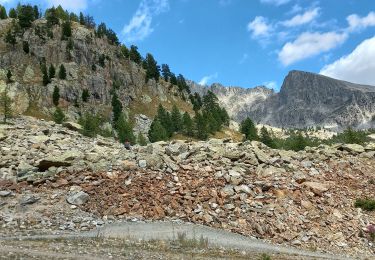
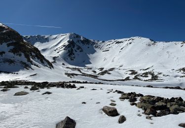
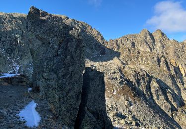
Trail Walking of 9.6 km to be discovered at Piemont, Cuneo, Vinadio. This trail is proposed by GrouGary.
Du Col de la Lombarde versl'Italie ...
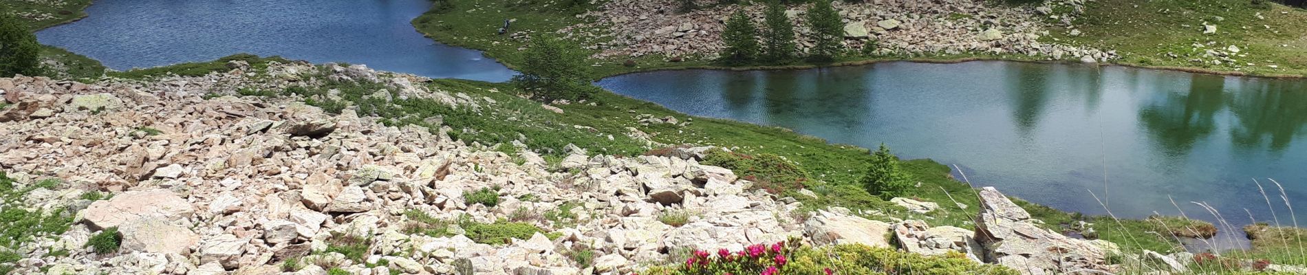
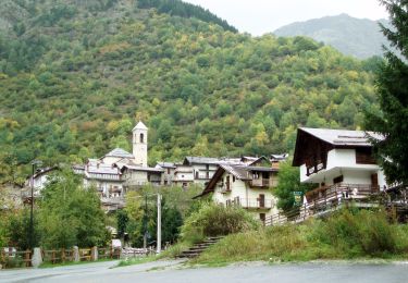
Parking après le Sanctuaire Sant'Anna di Vinadio. Détours vers plusieurs lacs : Lago del colle di S. Anna puis Lago Sant'Anna puis Laghi Mouton ;
Beaux passages de cascades d'eau, dans un paysage fleuri de rhododendrons...


Walking
On foot
Snowshoes
Walking
Walking
Snowshoes
Walking
Walking