


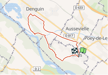

7.6 km | 8.6 km-effort

User GUIDE


FREE GPS app for hiking
 SityTrail
IGN / Geographical institutes
SityTrail World
The world is yours!
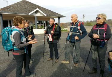
Trail Walking of 7.9 km to be discovered at New Aquitaine, Pyrénées-Atlantiques, Siros. This trail is proposed by marmotte65.
belle balade surtout sa 2eme partis dans la saligue


On foot

Walking
Walking
Walking

Mountain bike
Walking

Walking

On foot

Walking