


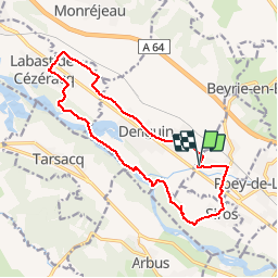

7.6 km | 8.6 km-effort


User


FREE GPS app for hiking
 SityTrail
IGN / Geographical institutes
SityTrail World
The world is yours!
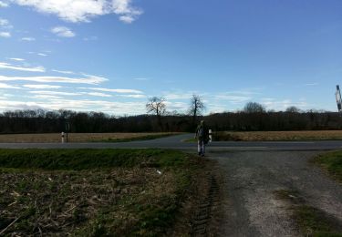
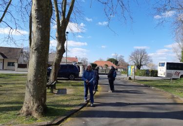
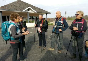
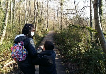
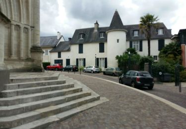
Trail Mountain bike of 15.6 km to be discovered at New Aquitaine, Pyrénées-Atlantiques, Aussevielle. This trail is proposed by moostic.
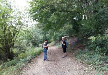
le long du gave

On foot
Walking
Walking
Walking
Walking
Walking
Walking
Walking
On foot
petite balade simpas