


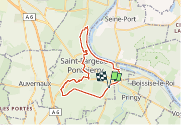


19.1 km | 21 km-effort


User


FREE GPS app for hiking
 SityTrail
IGN / Geographical institutes
SityTrail World
The world is yours!
Trail Walking of 14.3 km to be discovered at Ile-de-France, Seine-et-Marne, Saint-Fargeau-Ponthierry. This trail is proposed by CDieu.
parking du Cosec Jonville


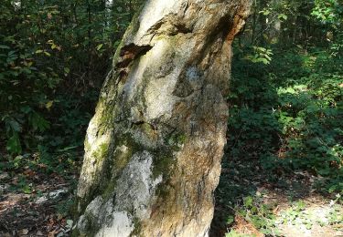
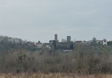
27 photos in total. Please click on a photo to see them all in the gallery.

Walking
Walking

Running

Walking
Walking

Walking

Mountain bike

Walking
Walking