


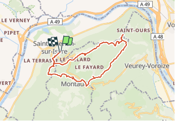


14.7 km | 26 km-effort

User


FREE GPS app for hiking
 SityTrail
IGN / Geographical institutes
SityTrail World
The world is yours!
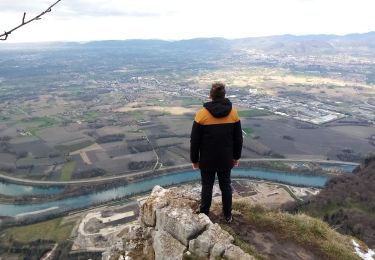
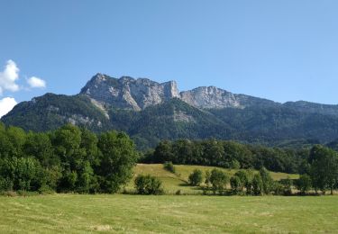
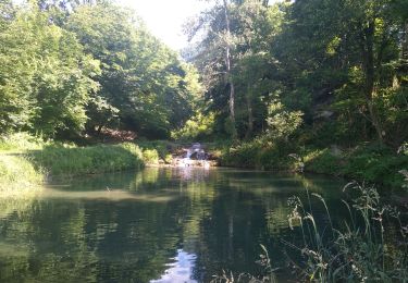
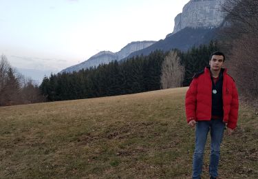
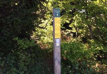
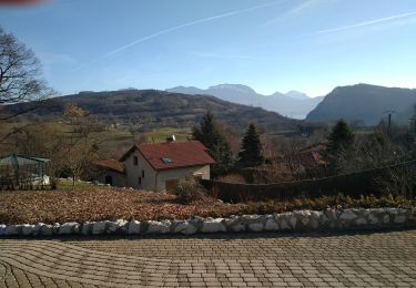
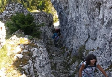
Trail Walking of 17 km to be discovered at Auvergne-Rhône-Alpes, Isère, Saint-Quentin-sur-Isère. This trail is proposed by himba26100.
gêne
belle rando variée


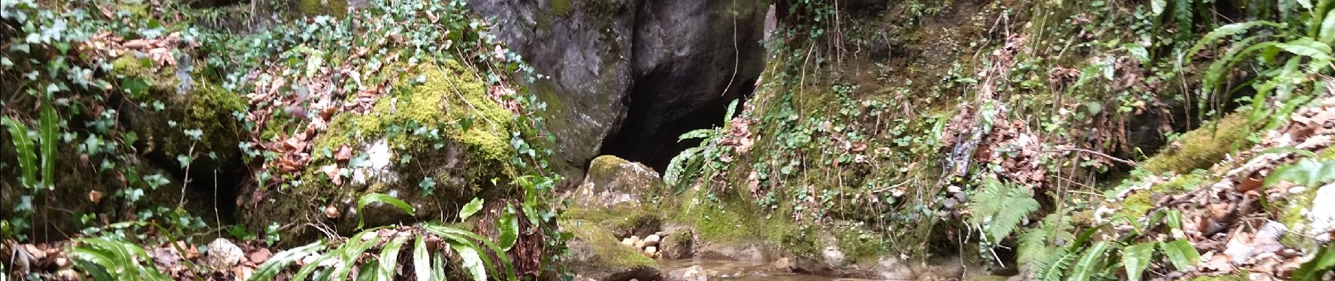
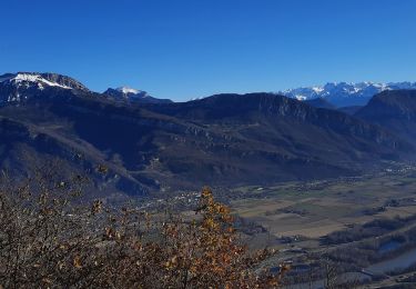
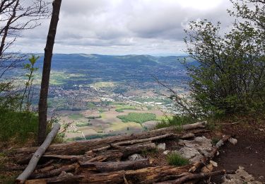
21 photos in total. Please click on a photo to see them all in the gallery.
Walking
Walking
Walking
Walking
Walking
Walking
Walking
Walking
Walking