


5.5 km | 6 km-effort

User


FREE GPS app for hiking
 SityTrail
IGN / Geographical institutes
SityTrail World
The world is yours!
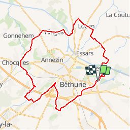
Trail Cycle of 36 km to be discovered at Hauts-de-France, Pas-de-Calais, Beuvry. This trail is proposed by tracegps.
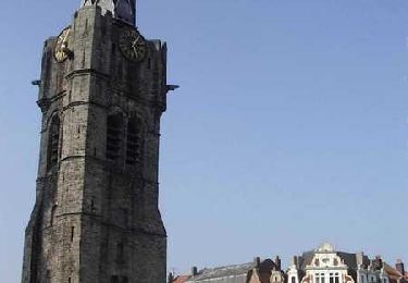
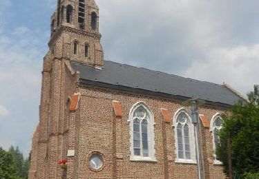
Départ de la mairie de Beuvry, place Roger Salengro. En fin de parcours, une petite boucle dans Beuvry permet de passer devant le manoir d'Estracelle, en cours de restauration. Retrouvez le circuit «Autour du beffroi» sur le site du conseil général du Pas-de-Calais.
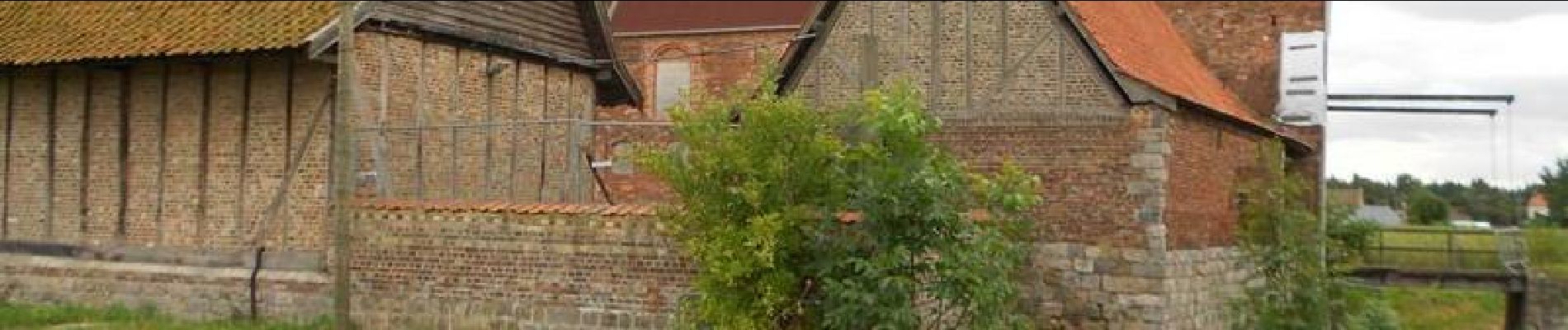
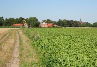
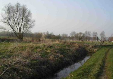
 - Beuvry - Photo 1")
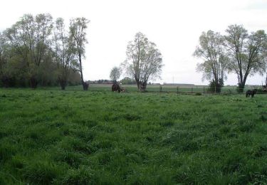
 - Beuvry - Photo 2")
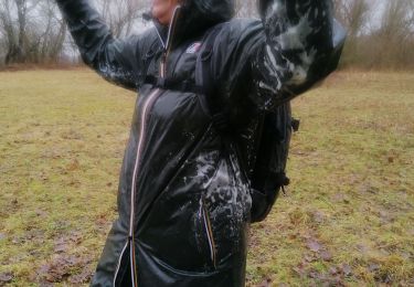
 - Beuvry - Photo 3")
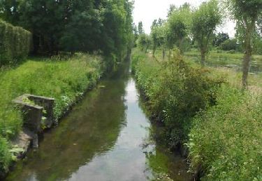
 - Beuvry - Photo 4")
 - Beuvry - Photo 5")
Walking
Walking
Walking
Walking
Walking

Walking

Walking
Walking
Walking