


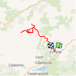


31 km | 67 km-effort

User


FREE GPS app for hiking
 SityTrail
IGN / Geographical institutes
SityTrail World
The world is yours!
Trail Walking of 32 km to be discovered at Corsica, Haute-Corse, Corscia. This trail is proposed by tracegps.
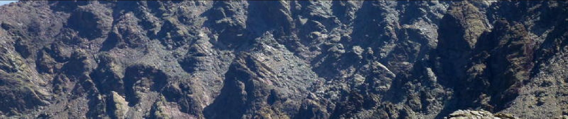
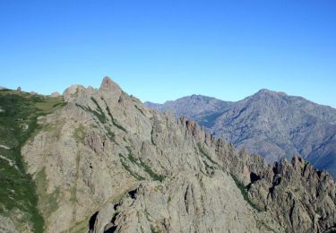
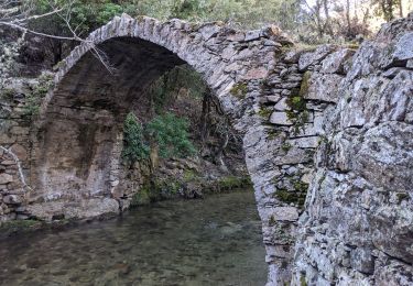
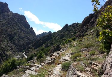
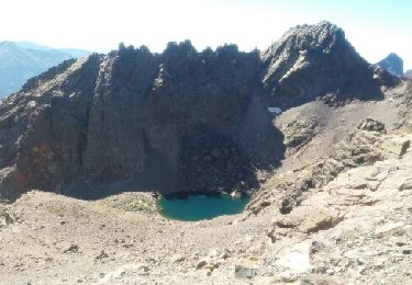
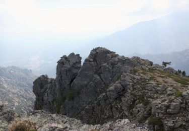
Capu a u Verdatu et Capu Biancu figurent dans la liste des dix plus hauts sommets de la Corse. Ils sont cependant très peu visités, car un aller-retour dans la journée vers l’un ou l’autre de ces sommets est particulièrement exigeant avec un dénivelé de l’ordre de 1800 mètres depuis Corscia. Les lacs Maggiore, d’Occi Neri et de Ghiarghe Rosse, au pied de ces deux sommets sont également très peu connus des randonneurs, car là aussi leur visite nécessite une longue randonnée sur un itinéraire non balisé. Nous n’avons d’ailleurs rencontré personne pendant trois jours alors que la pelouse du lac de Ghiarghe Rosse est un lieu de rêve pour un bivouac… D’autres photos et le récit détaillé ici


Walking
Walking
Walking
Walking
Walking
Walking

Walking