Trail Mountain bike Damouzy - De Sorel à Bogny - Damouzy - Photo

De Sorel à Bogny - Damouzy

 tracegps
tracegps

User

© OpenStreetMap contributors
Length
Length
20 km
Max alt
Max alt
388 m
Uphill gradient
Uphill gradient
593 m
Km-Effort
Km-Effort  
28 km
Min alt
Min alt
170 m
Downhill gradient
Downhill gradient
596 m
Boucle
Boucle
Yes
Creation date :
2014-12-10 00:00:00.0
Updated on :
2014-12-10 00:00:00.0

(0 Reviews)

Mountain bike
Mountain bike
2h45
Difficulty : Difficult

Scan this QR Code to open this trail in the SityTrail application

FREE GPS app for hiking

Logo SityTrail SityTrail

IGN / Geographical institutes

Download SityTrail from the App Store Download SityTrail from Google Play

Logo SityTrail SityTrail World

The world is yours!

Download SityTrail from the App Store Download SityTrail from Google Play Download SityTrail on Huawei AppGallery

About

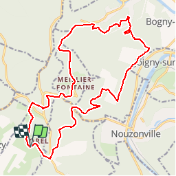
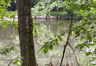
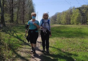
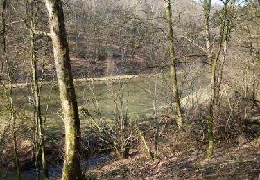
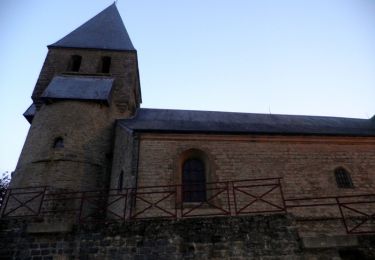
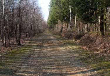
Trail Mountain bike of 20 km to be discovered at Grand Est, Ardennes, Damouzy. This trail is proposed by tracegps.

Description

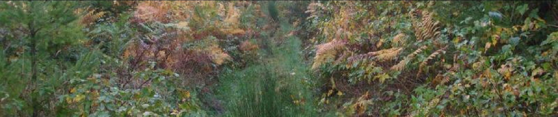
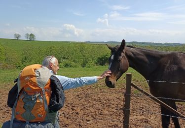
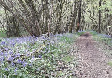
Circuit forestier varié sans grande difficulté, excepté une descente hyper raide que je vous défie de descendre sans mettre pied à terre. On peut l'éviter en contournant par la droite.

Elevation profile

Photos

Positioning

Country:
France
Region :
Grand Est
Department/Province :
Ardennes
Municipality :
Damouzy
Location:
Unknown
Start:(UTM)
621760 ; 5518911 (31U) N.

Trails nearby

Trail Walking Charleville-Mézières - De Charleville Mézières à Olly (Commune d'Illy)  - Photo
Walking
jeff2

Walking

Medium
Charleville-Mézières, Grand Est, Ardennes, France
28 km | 33 km-effort
8h 20min
No
Trail Walking Nouzonville - meillier fontaine  chemin bleu  les hutins - Photo
Walking
Nicolesophie08

Walking

Medium
Nouzonville, Grand Est, Ardennes, France
8.6 km | 11.8 km-effort
2h 40min
Yes
Trail Walking Renwez - Parc naturel régional des Ardennes - Photo
Walking
Michel Settembrino

Walking

Medium
Renwez, Grand Est, Ardennes, France
8.3 km | 10.5 km-effort
2h 42min
Yes
Trail Walking Charleville-Mézières - la havetiere CHM - Photo
Walking
labotte

Walking

Easy
Charleville-Mézières, Grand Est, Ardennes, France
10.5 km | 14 km-effort
2h 41min
Yes
Trail Walking Charleville-Mézières - Berthaucourt - Photo
Walking
jmboucher

Walking

Very easy
Charleville-Mézières, Grand Est, Ardennes, France
5.7 km | 7.1 km-effort
1h 34min
Yes
Trail Mountain bike Cliron - De Charroué à Arreux par Montcornet - Photo
Mountain bike
tracegps

Mountain bike

Difficult
Cliron, Grand Est, Ardennes, France
19.9 km | 26 km-effort
2h 15min
Yes
Trail Walking Tournes - Château d'Arreux - Tournes - Photo
Walking
tracegps

Walking

Medium
(1)
Tournes, Grand Est, Ardennes, France
9 km | 11.2 km-effort
2h 45min
Yes
Trail Mountain bike Cliron - De Charroué à Montcornet via Tournes - Arreux - Photo
Mountain bike
tracegps

Mountain bike

Medium
Cliron, Grand Est, Ardennes, France
15.3 km | 19.3 km-effort
1h 15min
Yes
Trail Walking Cliron - De Charroué à Montcornet via Tournes - Arreux - Photo
Walking
tracegps

Walking

Medium
Cliron, Grand Est, Ardennes, France
15.3 km | 19.3 km-effort
3h 0min
Yes


Close
My subscriptions