Trail Mountain bike Chamagnieu - Rando des Etangs - Chamagnieu   - Photo

Rando des Etangs - Chamagnieu

 tracegps
tracegps

User

© OpenStreetMap contributors
Length
Length
26 km
Max alt
Max alt
429 m
Uphill gradient
Uphill gradient
621 m
Km-Effort
Km-Effort  
35 km
Min alt
Min alt
222 m
Downhill gradient
Downhill gradient
621 m
Boucle
Boucle
Yes
Creation date :
2014-12-10 00:00:00.0
Updated on :
2014-12-10 00:00:00.0

(0 Reviews)

Mountain bike
Mountain bike
2h30
Difficulty : Medium

Scan this QR Code to open this trail in the SityTrail application

FREE GPS app for hiking

Logo SityTrail SityTrail

IGN / Geographical institutes

Download SityTrail from the App Store Download SityTrail from Google Play

Logo SityTrail SityTrail World

The world is yours!

Download SityTrail from the App Store Download SityTrail from Google Play Download SityTrail on Huawei AppGallery

About

Trail Mountain bike of 26 km to be discovered at Auvergne-Rhône-Alpes, Isère, Chamagnieu. This trail is proposed by tracegps.

Description

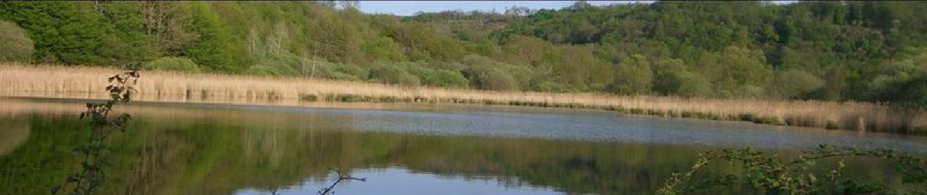
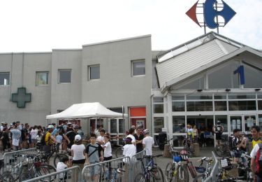
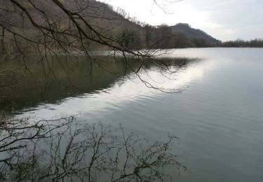
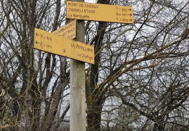
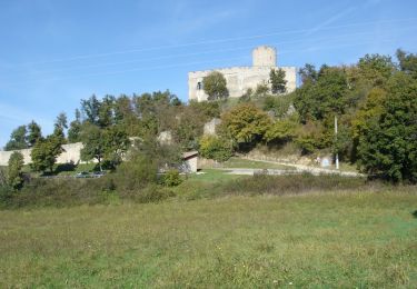
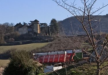
Au départ de Chamagnieu, pratique pour son grand parking dans le centre du village et son accès aisé depuis Lyon, cette belle rando vous ravira !!! Jamais très difficile mais pas donnée quand même, essayez de ne pas mettre pied à terre dans la montée de Moras ! Et puis le bar de la place à Chamagnieu pour la bière (A consommer avec modération).

Elevation profile

Photos

Positioning

Country:
France
Region :
Auvergne-Rhône-Alpes
Department/Province :
Isère
Municipality :
Chamagnieu
Location:
Unknown
Start:(UTM)
668791 ; 5060715 (31T) N.

Trails nearby

Trail Mountain bike Veyssilieu - Le Dauphin de l'Isle d'Abeau 2008 - 35 kms - Photo
Mountain bike
tracegps

Mountain bike

Difficult
(2)
Veyssilieu, Auvergne-Rhône-Alpes, Isère, France
34 km | 43 km-effort
2h 30min
Yes
Trail Mountain bike Chamagnieu - Autour de Chamagnieu - Photo
Mountain bike
tracegps

Mountain bike

Difficult
Chamagnieu, Auvergne-Rhône-Alpes, Isère, France
29 km | 36 km-effort
2h 30min
Yes
Trail Walking Chamagnieu - Autour de Chamagnieu - Photo
Walking
tracegps

Walking

Difficult
Chamagnieu, Auvergne-Rhône-Alpes, Isère, France
29 km | 36 km-effort
5h 30min
Yes
Trail Walking Satolas-et-Bonce - chauffard  - Photo
Walking
cricri34

Walking

Easy
Satolas-et-Bonce, Auvergne-Rhône-Alpes, Isère, France
3.9 km | 4.3 km-effort
57min
No
Trail Walking Chozeau - muguet reconnu le 250419 - Photo
Walking
lydiaodile

Walking

Very easy
Chozeau, Auvergne-Rhône-Alpes, Isère, France
4 km | 5.7 km-effort
1h 36min
Yes
Trail Mountain bike Saint-Quentin-Fallavier - La St Quentinoise 2008 - Photo
Mountain bike
tracegps

Mountain bike

Difficult
Saint-Quentin-Fallavier, Auvergne-Rhône-Alpes, Isère, France
47 km | 60 km-effort
4h 0min
Yes
Trail Walking Chamagnieu - Autour de Mianges - Photo
Walking
Elaan4

Walking

Medium
Chamagnieu, Auvergne-Rhône-Alpes, Isère, France
9.1 km | 11.5 km-effort
2h 48min
No
Trail Walking Chozeau - balade 1 - Photo
Walking
42152carlos

Walking

Easy
Chozeau, Auvergne-Rhône-Alpes, Isère, France
6 km | 7.4 km-effort
1h 48min
Yes
Trail Walking Saint-Marcel-Bel-Accueil - tour de Traversa  par la source - Photo
Walking
maujac

Walking

Very easy
Saint-Marcel-Bel-Accueil, Auvergne-Rhône-Alpes, Isère, France
4.8 km | 6.3 km-effort
1h 7min
Yes


Close
My subscriptions