


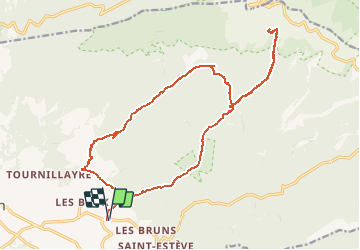

18.8 km | 25 km-effort

User


FREE GPS app for hiking
 SityTrail
IGN / Geographical institutes
SityTrail World
The world is yours!
Trail Walking of 24 km to be discovered at Provence-Alpes-Côte d'Azur, Vaucluse, Bédoin. This trail is proposed by tracegps.
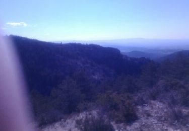
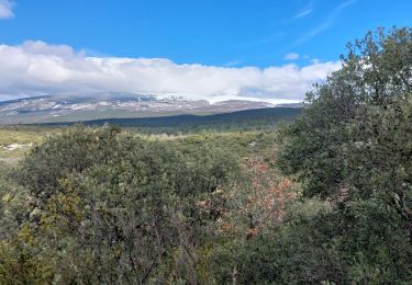
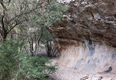
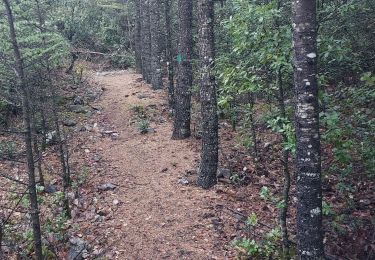
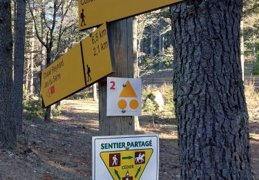
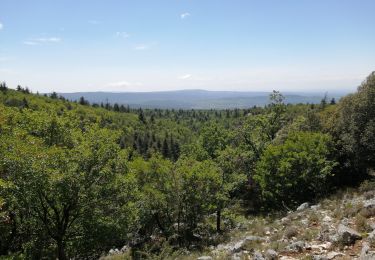
Longue randonnée à la journée pour partir à l’ascension du mont Ventoux. L'itinéraire aller monte à travers la combe de Curnier puis se poursuit jusqu'au Clapier de l'Ermite. De là, la trace redescend sur vos pas pour prendre tout droit la Combe d'Ansis jusqu'à Ste Colombe. Les plus courageux pourront poursuivre jusqu'en haut du Ventoux avant de redescendre. Retrouvez plus de photos ICI .


Walking
Walking

Walking
Walking
Walking
Walking
Walking
Walking
Walking
La randonnée en toute tranquillité