Trail Walking Halluin - Environs de Bousbecque - Photo

Environs de Bousbecque

 Greg813
Greg813

User

© OpenStreetMap contributors
Length
Length
21 km
Max alt
Max alt
49 m
Uphill gradient
Uphill gradient
152 m
Km-Effort
Km-Effort  
23 km
Min alt
Min alt
3 m
Downhill gradient
Downhill gradient
151 m
Boucle
Boucle
Yes
Creation date :
2022-03-20 08:53:26.129
Updated on :
2022-04-15 08:44:47.128

(0 Reviews)

Walking
Walking
4h01
Difficulty : Easy

Scan this QR Code to open this trail in the SityTrail application

FREE GPS app for hiking

Logo SityTrail SityTrail

IGN / Geographical institutes

Download SityTrail from the App Store Download SityTrail from Google Play

Logo SityTrail SityTrail World

The world is yours!

Download SityTrail from the App Store Download SityTrail from Google Play Download SityTrail on Huawei AppGallery

About

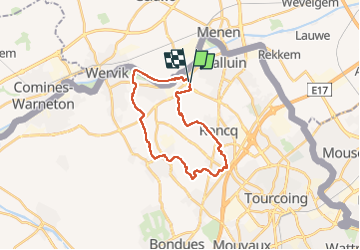
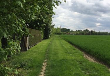
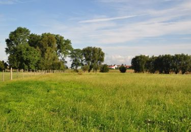
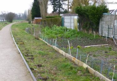
Trail Walking of 21 km to be discovered at Hauts-de-France, Nord, Halluin. This trail is proposed by Greg813.

Description

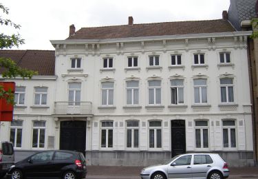
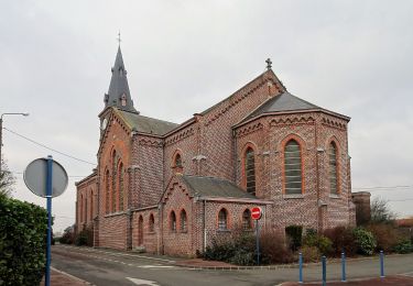
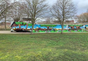
Randonnée avec Mettons le Monde en Marche dans le nord du département du Nord passant par la ferme de Hautevalle (XVIIIè) jusqu'au suivi des rives de Lys formant la frontière franco-belge.

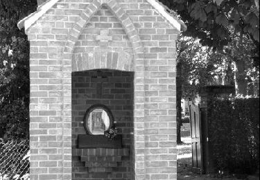
Pour d'autres photos, voir le site de l'association :
https://mmm-rando.org/bousbecque-2022/

Elevation profile

Positioning

Country:
France
Region :
Hauts-de-France
Department/Province :
Nord
Municipality :
Halluin
Location:
Unknown
Start:(UTM)
507123 ; 5624668 (31U) N.

Trails nearby

Trail On foot Menin - Erfgoedwandelroute Menen - Photo
On foot
PRO

On foot

Easy
Menin, Flanders, West Flanders, Belgium
4 km | 4.3 km-effort
58min
Yes
Trail On foot Menin - Smokkelaarspad - Photo
On foot
PRO

On foot

Easy
Menin, Flanders, West Flanders, Belgium
10.3 km | 11.2 km-effort
2h 32min
Yes
Trail Walking Wervicq-Sud - Milpattes - 08042013 - Photo
Walking
jacques.moulin@hotmail.com

Walking

Easy
(1)
Wervicq-Sud, Hauts-de-France, Nord, France
9.1 km | 10.2 km-effort
2h 14min
Yes
Trail Walking Halluin - Halluin par le bout du monde (Deulémont) - Photo
Walking

Walking

Medium
Halluin, Hauts-de-France, Nord, France
32 km | 34 km-effort
6h 12min
No
Trail Walking Menin - SityTrail - Compostelle - Nord 2 - Photo
Walking
Pacotille

Walking

Very difficult
Menin, Flanders, West Flanders, Belgium
67 km | 73 km-effort
16h 18min
No
Trail Running Roncq - Courir autour de Roncq  - Photo
Running
tracegps

Running

Medium
Roncq, Hauts-de-France, Nord, France
10.4 km | 11.3 km-effort
1h 0min
Yes
Trail Mountain bike Roncq - De Roncq à la Lys en VTT - Photo
Mountain bike
tracegps

Mountain bike

Difficult
Roncq, Hauts-de-France, Nord, France
43 km | 47 km-effort
2h 30min
Yes
Trail Other activity Roncq - Voie verte et campagne - Roncq - Photo
Other activity
tracegps

Other activity

Difficult
Roncq, Hauts-de-France, Nord, France
17.2 km | 19 km-effort
2h 24min
Yes
Trail Walking Menin - DKP2013 - Photo
Walking
MeresseMario

Walking

Very easy
(3)
Menin, Flanders, West Flanders, Belgium
7.7 km | 8.4 km-effort
1h 38min
No


Close
My subscriptions