![](/images/other/stat-length.png)
![Trail Walking Herstal - randonnée terril Liège - Photo](https://media.geolcdn.com/t/1900/400/ext.pjpeg?maxdim=2&url=https%3A%2F%2Fmedia.geolcdn.com%2Ff%2F80aeedec-7663-4adf-8e78-e2119e77b508.jpg)
randonnée terril Liège
Ahimsa
User
![Length](/images/other/stat-length.png)
Length
15.3 km
![Max alt](https://static1.geolcdn.com/siteimages/upload/files/1508320355ic_sort_altitude_max_24dp.png)
Max alt
229 m
![Uphill gradient](https://static1.geolcdn.com/siteimages/upload/files/1508320355ic_sort_den_pos_24dp.png)
Uphill gradient
451 m
![Km-Effort](/images/other/stat-length.png)
Km-Effort
21 km
![Min alt](https://static1.geolcdn.com/siteimages/upload/files/1508320355ic_sort_altitude_min_24dp.png)
Min alt
66 m
![Downhill gradient](https://static1.geolcdn.com/siteimages/upload/files/1508320355ic_sort_den_neg_24dp.png)
Downhill gradient
435 m
![Boucle](https://static1.geolcdn.com/siteimages/upload/files/16400158638029165_repeat_loop_refresh_sync_direction_icon.png)
Boucle
Yes
Creation date :
2022-03-21 07:55:54.691
Updated on :
2022-03-21 12:39:46.874
![Walking](https://static1.geolcdn.com/sitytour/trail-icons/101.png)
3h50
Difficulty : Difficult
![Scan this QR Code to open this trail in the SityTrail application](https://capi.geolives.com/qq0zvz2zws4bq2lad0pu/sitytour/trails/3175118/qr.png?size=200)
FREE GPS app for hiking
About
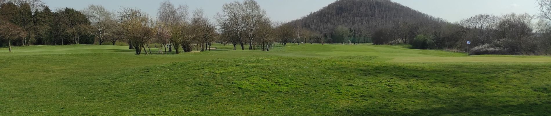
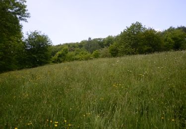
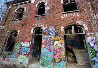
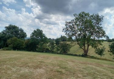
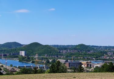
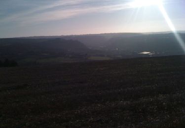
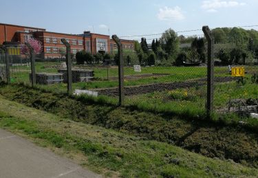
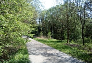
Trail Walking of 15.3 km to be discovered at Wallonia, Liège, Herstal. This trail is proposed by Ahimsa.
Description
randonnée suivant le parcourt de la rando bierre de Liège.
Tracé difficile à trouver par moment.
prévoir de bonne chaussures et si il a plu peut être que les entiers seront fort glissant rendant impossible certains endroits.
Positioning
Country:
Belgium
Region :
Wallonia
Department/Province :
Liège
Municipality :
Herstal
Location:
Unknown
Start:(Dec)
Start:(UTM)
685078 ; 5615161 (31U) N.
Comments
Trails nearby
![Trail Walking Liège - Nuit du scoutisme - Liège - Photo](https://media.geolcdn.com/t/375/260/ext.jpg?maxdim=2&url=https%3A%2F%2Fmedia.geolcdn.com%2Ff%2F9ee5fcc5-2ed6-4f9c-9105-1fa3b4422f73.jpg)
![Walking Walking](https://static1.geolcdn.com/sitytour/trail-icons/101.png)
Nuit du scoutisme - Liège
Walking
Easy
(12)
Liège,
Wallonia,
Liège,
Belgium
![](/images/other/stat-length.png)
4.2 km | 6 km-effort
1h 19min
![](https://static1.geolcdn.com/siteimages/upload/files/16400158638029165_repeat_loop_refresh_sync_direction_icon.png)
Yes
![Trail Walking Liège - coteaux de la citadelle liège - Photo](https://media.geolcdn.com/t/375/260/ext.jpg?maxdim=2&url=https%3A%2F%2Fservices.sitytrail.com%2FGeolivesWS%2FDownloadMedia.ashx%3FTrailID%3D114030%26Media%3D89e4d7f6-fadf-43e4-96ab-3cccd7baadb9.jpg)
![Walking Walking](https://static1.geolcdn.com/sitytour/trail-icons/101.png)
coteaux de la citadelle liège
Walking
Medium
(6)
Liège,
Wallonia,
Liège,
Belgium
![](/images/other/stat-length.png)
14.3 km | 19.8 km-effort
7h 4min
![](https://static1.geolcdn.com/siteimages/upload/files/16400158638029165_repeat_loop_refresh_sync_direction_icon.png)
Yes
![Trail Walking Visé - Visé, Natura des sites qui valent le détour Lg17 - Photo](https://media.geolcdn.com/t/375/260/ext.jpg?maxdim=2&url=https%3A%2F%2Fservices.sitytrail.com%2FGeolivesWS%2FDownloadMedia.ashx%3FTrailID%3D306109%26Media%3D40116a0f-d4b7-4a1a-bd6c-7e32dc62a0e3.JPG)
![Walking Walking](https://static1.geolcdn.com/sitytour/trail-icons/101.png)
Visé, Natura des sites qui valent le détour Lg17
Walking
Easy
(3)
Visé,
Wallonia,
Liège,
Belgium
![](/images/other/stat-length.png)
3.1 km | 3.9 km-effort
52min
![](https://static1.geolcdn.com/siteimages/upload/files/16400158638029165_repeat_loop_refresh_sync_direction_icon.png)
Yes
![Trail Walking Liège - 2021-03-07_15h45m11_1615128300605_UnnMrtGYyrs - Photo](https://media.geolcdn.com/t/375/260/ext.jpg?maxdim=2&url=https%3A%2F%2Fmedia.geolcdn.com%2Ff%2F1db82134-c6f1-4cf9-9ec5-4781d8a78844.jpg)
![Walking Walking](https://static1.geolcdn.com/sitytour/trail-icons/101.png)
2021-03-07_15h45m11_1615128300605_UnnMrtGYyrs
Walking
Easy
(1)
Liège,
Wallonia,
Liège,
Belgium
![](/images/other/stat-length.png)
3 km | 3.9 km-effort
53min
![](https://static1.geolcdn.com/siteimages/upload/files/16400158638029165_repeat_loop_refresh_sync_direction_icon.png)
Yes
![Trail Walking Fléron - F15 Fléron Fond du Pucet - Photo](https://media.geolcdn.com/t/375/260/ext.jpg?maxdim=2&url=https%3A%2F%2Fmedia.geolcdn.com%2Ff%2F52059866-a3d8-42bb-ace6-902ab69a25c9.jpg)
![Walking Walking](https://static1.geolcdn.com/sitytour/trail-icons/101.png)
F15 Fléron Fond du Pucet
Walking
Easy
(2)
Fléron,
Wallonia,
Liège,
Belgium
![](/images/other/stat-length.png)
4.8 km | 6 km-effort
57min
![](https://static1.geolcdn.com/siteimages/upload/files/16400158638029165_repeat_loop_refresh_sync_direction_icon.png)
Yes
![Trail Electric bike Blegny - Par les Houlpais - Photo](https://media.geolcdn.com/t/375/260/ext.jpg?maxdim=2&url=https%3A%2F%2Fmedia.geolcdn.com%2Ff%2F91501caf-acdf-43bf-a952-638e9aed87aa.jpg)
![Electric bike Electric bike](https://static1.geolcdn.com/sitytour/trail-icons/205.png)
Par les Houlpais
Electric bike
Difficult
(1)
Blegny,
Wallonia,
Liège,
Belgium
![](/images/other/stat-length.png)
37 km | 48 km-effort
2h 30min
![](https://static1.geolcdn.com/siteimages/upload/files/16400158638029165_repeat_loop_refresh_sync_direction_icon.png)
Yes
![Trail Walking Beyne-Heusay - Beyne-Heusay - Grivegnée par la Chapelle Sainte-Anne - Photo](https://media.geolcdn.com/t/375/260/ext.jpg?maxdim=2&url=https%3A%2F%2Fservices.sitytrail.com%2FGeolivesWS%2FDownloadMedia.ashx%3FTrailID%3D229568%26Media%3D20120115145851.jpg)
![Walking Walking](https://static1.geolcdn.com/sitytour/trail-icons/101.png)
Beyne-Heusay - Grivegnée par la Chapelle Sainte-Anne
Walking
Very easy
(1)
Beyne-Heusay,
Wallonia,
Liège,
Belgium
![](/images/other/stat-length.png)
5.1 km | 6 km-effort
45min
![](https://static1.geolcdn.com/siteimages/upload/files/16400158638029165_repeat_loop_refresh_sync_direction_icon.png)
No
![Trail Walking Blegny - Promenade du vendredi P10 - Photo](https://media.geolcdn.com/t/375/260/ext.jpg?maxdim=2&url=https%3A%2F%2Fmedia.geolcdn.com%2Ff%2Fb561cb32-28a1-4403-b429-4d2aa3579b8b.jpg)
![Walking Walking](https://static1.geolcdn.com/sitytour/trail-icons/101.png)
Promenade du vendredi P10
Walking
Very easy
(1)
Blegny,
Wallonia,
Liège,
Belgium
![](/images/other/stat-length.png)
1.7 km | 2 km-effort
34min
![](https://static1.geolcdn.com/siteimages/upload/files/16400158638029165_repeat_loop_refresh_sync_direction_icon.png)
Yes
![Trail Walking Blegny - Promenade du vendredi - Photo](https://media.geolcdn.com/t/375/260/ext.jpg?maxdim=2&url=https%3A%2F%2Fmedia.geolcdn.com%2Ff%2Fe039b0ee-089c-403d-885e-28e04d58dde1.jpg)
![Walking Walking](https://static1.geolcdn.com/sitytour/trail-icons/101.png)
Promenade du vendredi
Walking
Very easy
(1)
Blegny,
Wallonia,
Liège,
Belgium
![](/images/other/stat-length.png)
1.8 km | 2 km-effort
28min
![](https://static1.geolcdn.com/siteimages/upload/files/16400158638029165_repeat_loop_refresh_sync_direction_icon.png)
Yes