


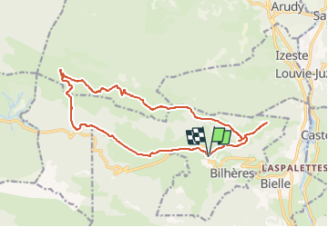


12.2 km | 25 km-effort

User


FREE GPS app for hiking
 SityTrail
IGN / Geographical institutes
SityTrail World
The world is yours!
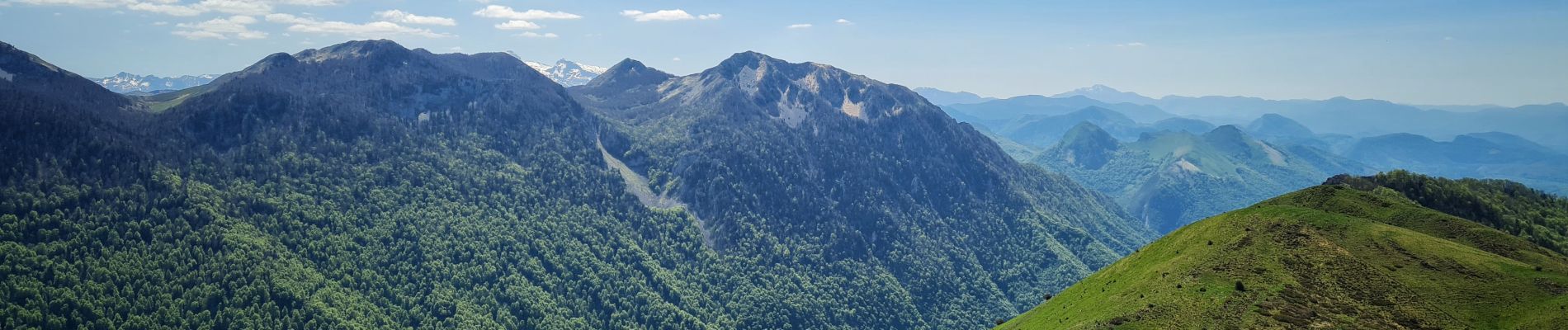
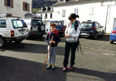
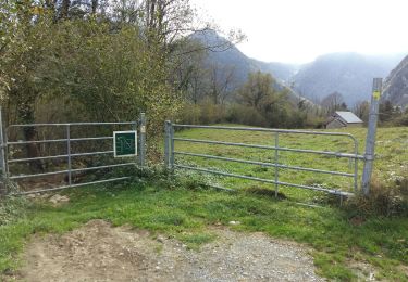
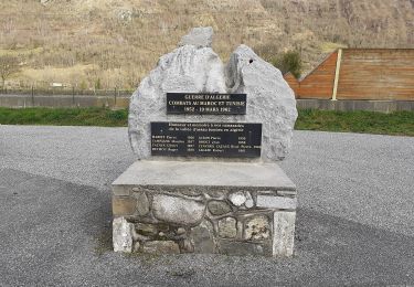
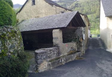
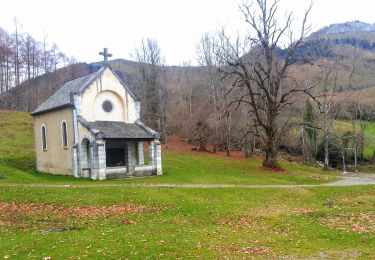
Trail Walking of 17.8 km to be discovered at New Aquitaine, Pyrénées-Atlantiques, Bilhères. This trail is proposed by HaschKnight.
© Les Topos Pyrénées par Mariano
https://urlz.fr/hMXO


Walking

Walking
Walking
Walking
On foot

On foot
On foot
On foot

On foot