Trail Walking Cause-de-Clérans - Autour de Cause-de-Clérans - Photo

Autour de Cause-de-Clérans

 tracegps
tracegps

User

© OpenStreetMap contributors
Length
Length
14.3 km
Max alt
Max alt
143 m
Uphill gradient
Uphill gradient
293 m
Km-Effort
Km-Effort  
18.2 km
Min alt
Min alt
46 m
Downhill gradient
Downhill gradient
293 m
Boucle
Boucle
Yes
Creation date :
2014-12-10 00:00:00.0
Updated on :
2014-12-10 00:00:00.0

(1 Reviews)

Walking
Walking
3h30
Difficulty : Medium

Scan this QR Code to open this trail in the SityTrail application

FREE GPS app for hiking

Logo SityTrail SityTrail

IGN / Geographical institutes

Download SityTrail from the App Store Download SityTrail from Google Play

Logo SityTrail SityTrail World

The world is yours!

Download SityTrail from the App Store Download SityTrail from Google Play Download SityTrail on Huawei AppGallery

About

Trail Walking of 14.3 km to be discovered at New Aquitaine, Dordogne, Cause-de-Clérans. This trail is proposed by tracegps.

Description

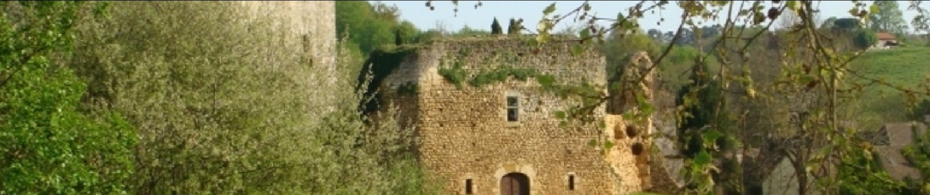
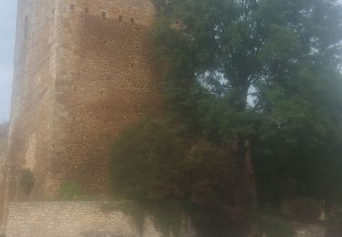
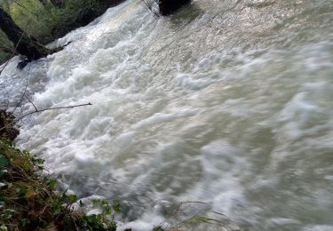
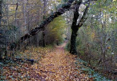
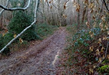
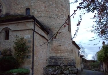
Départ de Clérans au pied du donjon éventré du château du 12ème. Traversée de Cause sa sœur jumelle, puis la Malroussie et sa chartreuse. Avant d'arriver à Saint Capraise de Lalinde, le chemin passe devant un vieux four à chaux puis continue en balcon au-dessus du canal doublant la Dordogne et se poursuit par un sentier sous le couvert qui laisse voir le superbe château de Ganaube. Retour à Clérans.

Elevation profile

Photos

Positioning

Country:
France
Region :
New Aquitaine
Department/Province :
Dordogne
Municipality :
Cause-de-Clérans
Location:
Unknown
Start:(UTM)
315694 ; 4970342 (31T) N.

Comments

Please log in to post a review or rate the element


Trails nearby

Trail On foot Cause-de-Clérans - Cause de Clérans - Photo
On foot
audier

On foot

Medium
Cause-de-Clérans, New Aquitaine, Dordogne, France
23 km | 28 km-effort
6h 28min
Yes
Trail On foot Lanquais - Boucle des coteaux - Photo
On foot
PRO

On foot

Easy
Lanquais, New Aquitaine, Dordogne, France
6.4 km | 8.2 km-effort
1h 52min
Yes
Trail On foot Lanquais - Boucle des eaux - Photo
On foot
PRO

On foot

Easy
Lanquais, New Aquitaine, Dordogne, France
10 km | 12.9 km-effort
2h 56min
No
Trail Walking Lanquais - Lanquais 12,8km - Photo
Walking
amelie14

Walking

Medium
Lanquais, New Aquitaine, Dordogne, France
12.7 km | 15.6 km-effort
2h 28min
Yes
Trail Walking Lanquais - Lanquais - Photo
Walking
amelie14

Walking

Medium
Lanquais, New Aquitaine, Dordogne, France
12.6 km | 16.2 km-effort
2h 32min
Yes
Trail Walking Lalinde - Marche 18km - Photo
Walking
amelie14

Walking

Easy
Lalinde, New Aquitaine, Dordogne, France
18.2 km | 23 km-effort
3h 29min
Yes
Trail Walking Lanquais - Lanquais 18km - Photo
Walking
amelie14

Walking

Difficult
Lanquais, New Aquitaine, Dordogne, France
18.2 km | 24 km-effort
3h 55min
Yes
Trail Walking Lanquais - Lanquais 16km - Photo
Walking
amelie14

Walking

Easy
Lanquais, New Aquitaine, Dordogne, France
16.1 km | 19.5 km-effort
3h 3min
Yes
Trail Walking Mouleydier - Forêt de Liorac 21km - Photo
Walking
amelie14

Walking

Medium
Mouleydier, New Aquitaine, Dordogne, France
21 km | 26 km-effort
4h 1min
Yes


Close
My subscriptions