


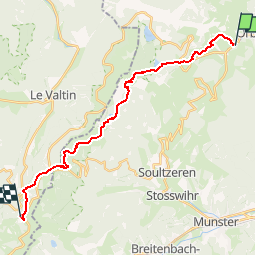

22 km | 31 km-effort

User


FREE GPS app for hiking
 SityTrail
IGN / Geographical institutes
SityTrail World
The world is yours!
Trail Walking of 20 km to be discovered at Grand Est, Haut-Rhin, Orbey. This trail is proposed by tracegps.
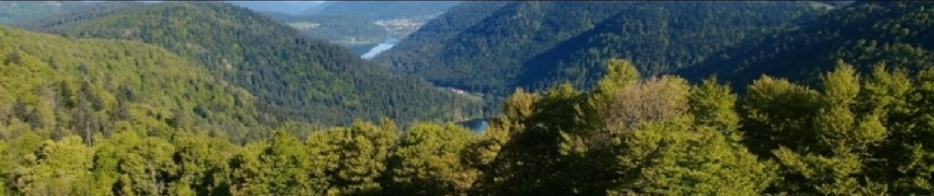
Joli circuit qui offre en 2 jours la quintessence des hautes Vosges: la douceur des lacs, les panoramiques à 360° à perte de vue depuis l'enfilade de sommets s'échelonnant entre le Hohneck et le Schwiesel et même quelques giclées d'adrénaline au passage du Hirschsteine. À ne faire que par beau temps !


Horseback riding

Horseback riding

Walking

Walking

Mountain bike

Walking

Mountain bike

Horseback riding
Horseback riding