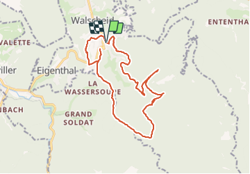

52 km | 67 km-effort

User


FREE GPS app for hiking
 SityTrail
IGN / Geographical institutes
SityTrail World
The world is yours!
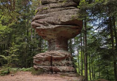
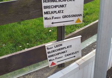
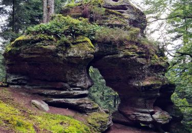
Trail Walking of 16.4 km to be discovered at Grand Est, Moselle, Walscheid. This trail is proposed by nfranche.
File with points/tracks from Locus Map Pro/3.57.1


Cycle

Mountain bike

Walking

Walking
On foot
Walking
Walking

Mountain bike