


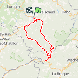


17 km | 23 km-effort

User


FREE GPS app for hiking
 SityTrail
IGN / Geographical institutes
SityTrail World
The world is yours!
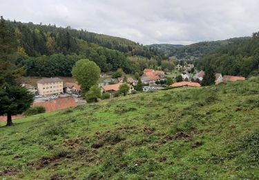
Trail Cycle of 52 km to be discovered at Grand Est, Moselle, Abreschviller. This trail is proposed by tracegps.
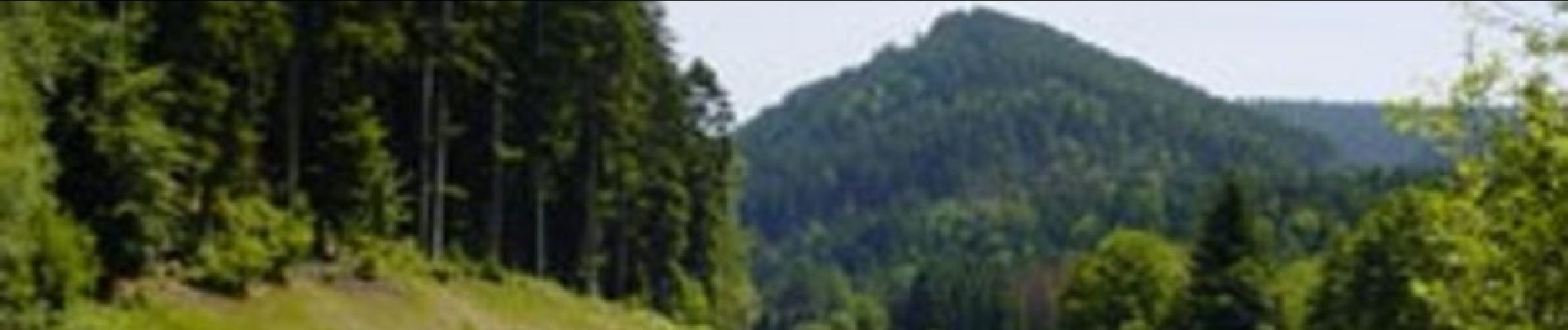
Un véritable défi sportif que la montée au Col du Donon! Plusieurs fois déjà dans l'histoire du Tour de France cycliste ce col a été franchi par le peloton. Il a la particularité de proposer un dénivelé positif de 1375 mètres! Autant dire que l'objectif est de se hisser au sommet pour en redescendre la tête pleine d'images de panoramas fabuleux sur le massif vosgien, la plaine d'Alsace et le plateau Lorrain.


Walking

Mountain bike

Walking
Walking
On foot
Walking
Walking
Walking
Walking