


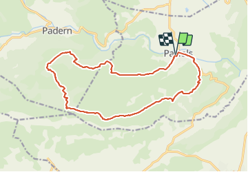

9.5 km | 12.4 km-effort

User


FREE GPS app for hiking
 SityTrail
IGN / Geographical institutes
SityTrail World
The world is yours!
Trail Walking of 18.6 km to be discovered at Occitania, Aude, Paziols. This trail is proposed by cappelle.
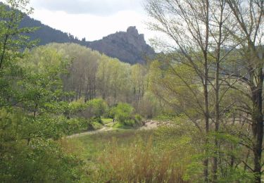
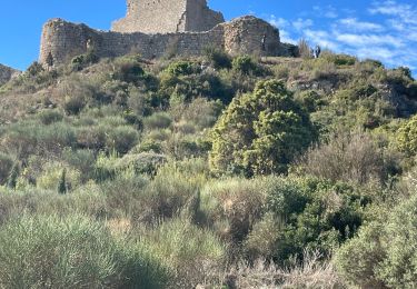
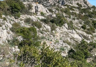
belle rando sur les crêtes et le long du ruisseau des Grazels 'chemin étroit entre les romarins , pour le pique nique ,a l'abri du vent , plusieurs passages à gué ,très sympa . calcul IBP index difficulté : 66


Walking
Walking
Walking

Walking
Walking

Walking

Walking

Walking
Walking