


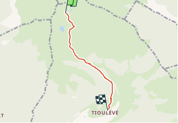

14.1 km | 16.3 km-effort


User


FREE GPS app for hiking
 SityTrail
IGN / Geographical institutes
SityTrail World
The world is yours!
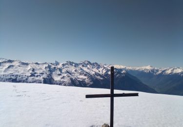
Trail Touring skiing of 3.7 km to be discovered at Auvergne-Rhône-Alpes, Savoy, Montsapey. This trail is proposed by jibebouvier.
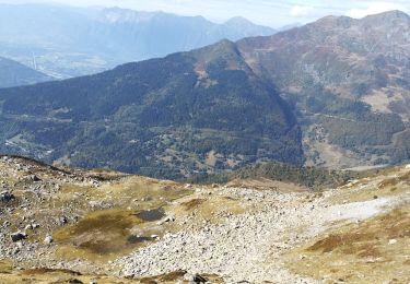
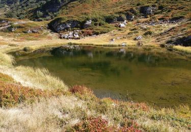
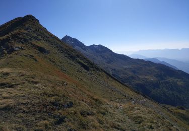
trop dur ;-) trop mou, trop tard, trop chaud, mais trop bien quand même !

Horseback riding

Walking
Walking
Walking
Walking
Walking
Walking
Walking
Walking