Trail Walking Ogenne-Camptort - G4 OgenneComptort fait - Photo
© OpenStreetMap contributors
Length
Length
11.4 km
Max alt
Max alt
282 m
Uphill gradient
Uphill gradient
159 m
Km-Effort
Km-Effort  
13.5 km
Min alt
Min alt
163 m
Downhill gradient
Downhill gradient
159 m
Boucle
Boucle
Yes
Creation date :
2022-04-08 07:56:50.485
Updated on :
2022-04-08 13:07:02.405

(0 Reviews)

Walking
Walking
3h02
Difficulty : Difficult

Scan this QR Code to open this trail in the SityTrail application

FREE GPS app for hiking

Logo SityTrail SityTrail

IGN / Geographical institutes

Download SityTrail from the App Store Download SityTrail from Google Play

Logo SityTrail SityTrail World

The world is yours!

Download SityTrail from the App Store Download SityTrail from Google Play Download SityTrail on Huawei AppGallery

About

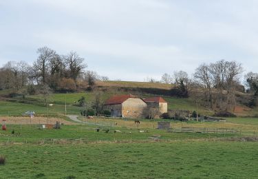
Trail Walking of 11.4 km to be discovered at New Aquitaine, Pyrénées-Atlantiques, Ogenne-Camptort. This trail is proposed by LouisROGER.

Elevation profile

Positioning

Country:
France
Region :
New Aquitaine
Department/Province :
Pyrénées-Atlantiques
Municipality :
Ogenne-Camptort
Location:
Unknown
Start:(UTM)
686479 ; 4799905 (30T) N.

Trails nearby

Trail Walking Vielleségure - Ogenne - Camptort - Photo
Walking
tracegps

Walking

Medium
Vielleségure, New Aquitaine, Pyrénées-Atlantiques, France
11.3 km | 13.5 km-effort
2h 45min
No
Trail Walking Navarrenx - Camino 1 étape 29 - Photo
Walking
bene_dictus77

Walking

Medium
Navarrenx, New Aquitaine, Pyrénées-Atlantiques, France
21 km | 25 km-effort
7h 4min
No
Trail Horseback riding Lay-Lamidou - Laus Creek Ranch ---> Les Petits Sabots - Photo
Horseback riding
Emilie_mth

Horseback riding

Easy
Lay-Lamidou, New Aquitaine, Pyrénées-Atlantiques, France
13 km | 17.5 km-effort
2h 17min
No
Trail Walking Navarrenx - St Jacques Etape 34 - Photo
Walking
Jean-MarieFaux

Walking

Easy
Navarrenx, New Aquitaine, Pyrénées-Atlantiques, France
18.7 km | 23 km-effort
4h 57min
No
Trail Walking Navarrenx - Navarrenx-Saint-Palais (Aroue) - Photo
Walking
chouk1

Walking

Medium
Navarrenx, New Aquitaine, Pyrénées-Atlantiques, France
22 km | 26 km-effort
5h 38min
No
Trail Walking Navarrenx - navarenx/lichos - Photo
Walking
puchol

Walking

Easy
Navarrenx, New Aquitaine, Pyrénées-Atlantiques, France
17.6 km | 21 km-effort
4h 35min
No
Trail Bicycle tourism Navarrenx - B - Navarrrenx - Béarn des gaves - Photo
Bicycle tourism
potofe

Bicycle tourism

Medium
Navarrenx, New Aquitaine, Pyrénées-Atlantiques, France
67 km | 81 km-effort
Unknown
Yes
Trail Walking Navarrenx - navarrenx -Arroue - Photo
Walking
bernard.bonafous@free.fr

Walking

Very difficult
Navarrenx, New Aquitaine, Pyrénées-Atlantiques, France
21 km | 25 km-effort
5h 2min
No
Trail Horseback riding Ogenne-Camptort - Rando Gurs - Photo
Horseback riding
Emilie_mth

Horseback riding

Easy
Ogenne-Camptort, New Aquitaine, Pyrénées-Atlantiques, France
22 km | 28 km-effort
2h 6min
Yes


Close
My subscriptions