


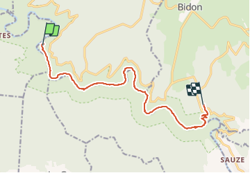


5.9 km | 9.4 km-effort

User


FREE GPS app for hiking
 SityTrail
IGN / Geographical institutes
SityTrail World
The world is yours!
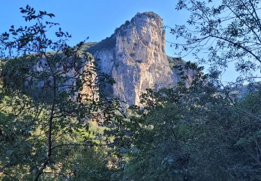
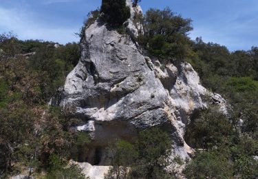
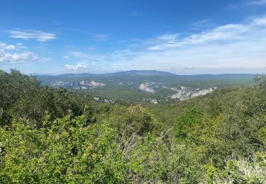
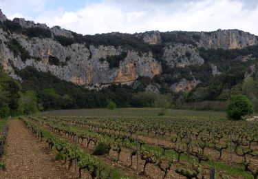
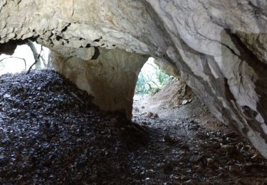
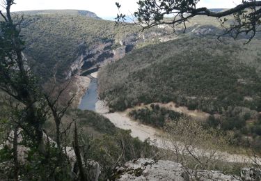
Trail Walking of 15.1 km to be discovered at Auvergne-Rhône-Alpes, Ardèche, Saint-Remèze. This trail is proposed by caroline83150.
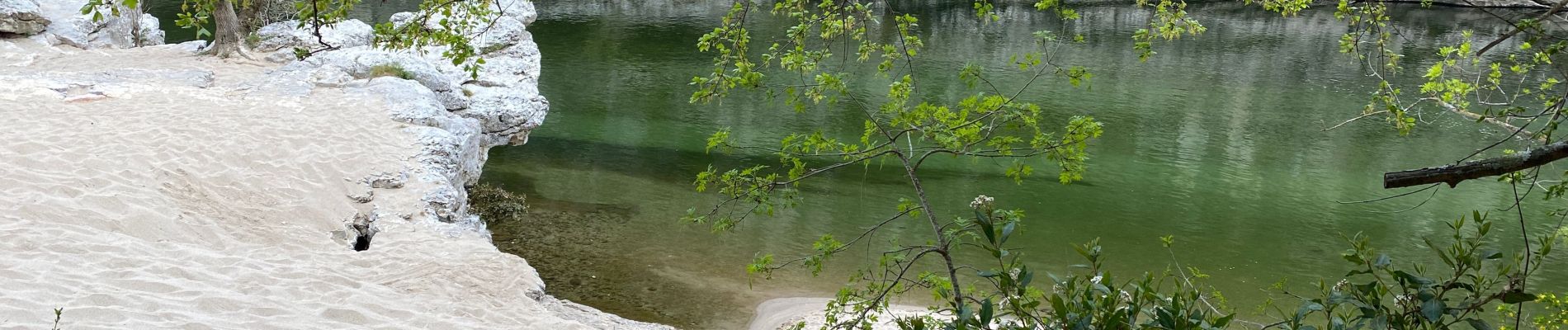
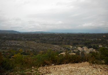
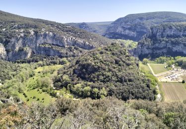
Belle randonnée avec quelques passages escarpés, barre de fer pour aider .


45 photos in total. Please click on a photo to see them all in the gallery.

Walking
Cycle
Walking
Walking
Walking
Walking
Walking
Walking
Walking