


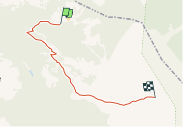


6.3 km | 9.8 km-effort


User


FREE GPS app for hiking
 SityTrail
IGN / Geographical institutes
SityTrail World
The world is yours!
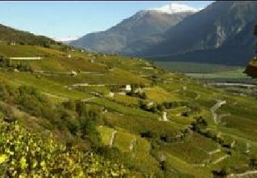
Trail Winter sports of 5.7 km to be discovered at Valais/Wallis, Hérens, Mont-Noble. This trail is proposed by maturin.
Pendant les mois de janvier, février et mars, le parcours est ouvert tous les jeudis soir.
Et il y a beaucoup de monde qui y vont !
On foot

On foot
On foot

On foot
Walking
Walking
Other activity
Other activity

Walking