


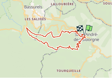

18 km | 28 km-effort


User GUIDE


FREE GPS app for hiking
 SityTrail
IGN / Geographical institutes
SityTrail World
The world is yours!
Trail Walking of 18.9 km to be discovered at Occitania, Gard, Saint-André-de-Valborgne. This trail is proposed by nadinebondoux.
au départ de St André de Valborgne
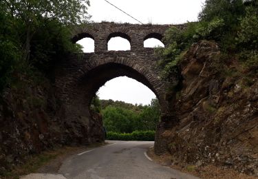
Ancien chemin de transhumance
en Vallee Borgne
A la limite du Gard et de la Lozère


Walking

Walking

Walking

On foot
Walking
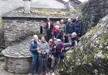
Walking

Walking

Walking
Walking