


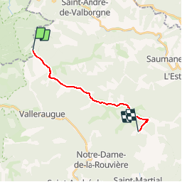


18 km | 28 km-effort


User


FREE GPS app for hiking
 SityTrail
IGN / Geographical institutes
SityTrail World
The world is yours!
Trail Walking of 13.9 km to be discovered at Occitania, Lozère, Bassurels. This trail is proposed by jeanluc.smets.
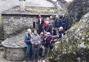
Le gîte du Mas Corbières, sur la commune de Notre Dame de Rouvières et situé en dessous et au sud du col de l'Asclié à 1,8km.
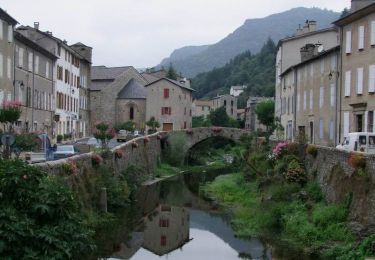
Walking
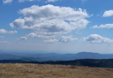
Walking
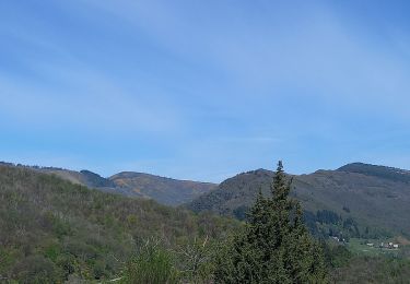
Walking
Walking

Walking

Walking
Walking
Walking
Walking